What is recorded here
In pasture, on S-facing slope. Heavily overgrown circular area enclosed by earthen bank (H 1.3m), with shallow external fosse to NW and W. Ruined stone facing on outer bank face.
The above description is derived from the published 'Archaeological Inventory of County Cork. Volume 1: West Cork' (Dublin: Stationery Office, 1992). In certain instances the entries have been revised and updated in the light of recent research.
Date of upload/revision: 14 January 2009
A local fairy fort (ringfort/rath); wider significance not recorded.
- Townland
- Cappadineen
- Official type
- Ringfort - rath
- Official record
- CO120-018----
- What survives
- Recorded monument
- Location
- Official recorded centre point
The monument record does not grant public access. Check the route and ask the landowner before entering private land.
Places near here
 Mound in CappadineenMound · 439 yd
 Mohona WoodWood · 485 yd
 Country house in MohonaCountry house · 689 yd
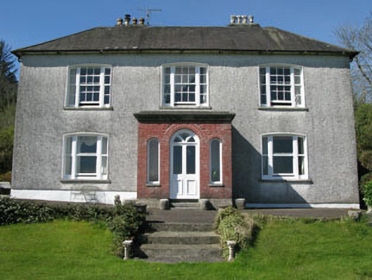 Manor House — Dunmanwayhouse · 1.2 mi
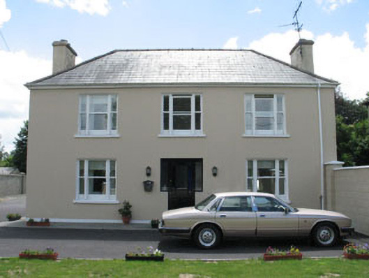 Laurel House — Kilbarry Roadhouse · 1.4 mi
 Castle (Site of) — Dunmanway NorthCastle — Anglo-Norman masonry castle · 1.6 mi
 Dunmanway Heritage CentreVisitor information · 1.8 mi
 Mount GunneryMountain / peak · 3.2 mi
 Funmanway Adventure LandHeritage attraction · 3.5 mi
 Milane HillMountain / peak · 3.7 mi
 Ballynacarriga Castle — Ballynacarriga (carbery East (eastern Div.) By.)Castle — tower house · 3.7 mi
 Cross commemorating Holy Day.Memorial · 4.3 mi