
What is recorded here
Indicated, Candlefort is a flat-topped conical castle mound standing eight metres high on a northern slope above the River Fane. A narrow entrance opens onto its western summit, while a broad circular bailey stretches eastward beneath mature beech, alder and ash. Local tradition claims an underground passage hides in the base, yet archaeological testing nearby found no related material. The mound still holds more mystery than measurement.
Located on a shelf towards the bottom of a N-facing slope and c. 300m N of a W-E section of the River Fane. It is also c. 200m S of the site of St Daigh’s early monastery (MO029-031001-). This is a flat-topped conical mound (diam. of top 13.6m E-W; 11m N-S; H c. 8m). The base is surrounded by a flat-bottomed fosse (at SW: Wth of top c. 3m; D c. 0.5m) SE-W-NE and an outer earth and stone bank. There is a small enclosure (diam. 7.8m E-W) defined by a broad earthen bank (at W: Wth of base 2.2m; int. H 0.5m) with an entrance at E (Wth 1.5m) on top towards the W edge of the summit. The bailey is a circular grass-covered area (diam. 35.6m E-W; 33.5m N-S) just to the E defined by a scarp (at NE: Wth 5.5m; H 2m) that merges into the slope E-S-W. The motte is planted in mature beech with alder and ash. There is reputed to be a Man-made underground passage (MO029-032001-) in the base of the mound. Archaeological testing (08E0358) c. 140m to the E produced no related material. (Clarke 2011)
The above description is derived from the published 'Archaeological Inventory of County Monaghan' (Dublin: Stationery Office, 1986). In certain instances the entries have been revised and updated in the light of recent research.
Date of revision: 29 August 2017
Amended: 16 January 2020
Candlefort is believed to have been built during the early medieval period, likely by a local Gaelic lord or religious community, given its proximity to the early monastery of St Daigh. Its location suggests it may have served a defensive or strategic role in the region.
The monument record does not grant public access. Check the route and ask the landowner before entering private land.
- What survives
- Recorded monument
Places near here
 Man-made underground passage in CandlefortMan-made underground passage · 17 yd
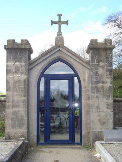 shrine/oratory/grottoshrine/oratory/grotto · 53 yd
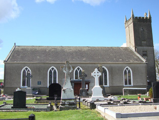 Patrick Kavanagh Centrechurch/chapel · 102 yd
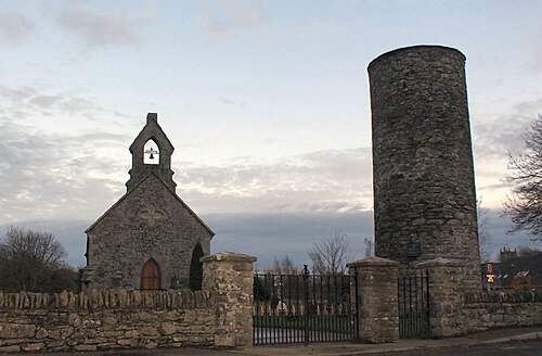 Round TowerRound tower · 238 yd
 CastleCastle, motte and bailey · 2.6 mi
 Mount AshCastle, motte · 2.9 mi
:no_upscale()/cdn.vox-cdn.com/uploads/chorus_asset/file/25593391/County_Louth_6th.jpg) LouthMountain / peak · 4.2 mi
LouthMountain / peak · 4.2 mi Ballsmill Amenity LandPicnic place · 5.4 mi
 Sky HillMountain / peak · 5.5 mi
 Photo GalleryHeritage attraction · 6.7 mi
 Dundalk CentralHeritage attraction · 6.7 mi
 Irish Hunger StrikersMemorial · 6.9 mi
Other information
Photo: Credit not shown · All rights reserved