What is recorded here
On top of a low natural hillock in wet marshy terrain in a mountainous region. A natural elongated mound which appears to have been scarped and flattened on top to form a low mound (dims. 23m N-S; 13m E-W; H 0.5-0.7m) of natural appearance which is very heavily overgrown with thorn bushes.The base of the mound is intersected by a field boundary at N on a NE-SW axis.
Compiled by: Jean Farrelly
Date of upload: 26 August 2011
A portal dolmen dating to the Neolithic period. Its location on a modified natural hillock suggests ritual or ceremonial significance in a landscape with limited elevated ground.
The monument record does not grant public access. Check the route and ask the landowner before entering private land.
- What survives
- Recorded monument
Places near here
 IndicatedFairy fort / earthen ringfort · 888 yd
 Saint Anne's Church (Toem)church/chapel · 1.2 mi
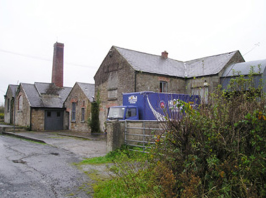 Castletown Creamerycreamery, chimney · 1.3 mi
 Killarragon Burial GroundChildren's burial ground · 1.3 mi
 Coonagh CastleCastle · 1.5 mi
 Longford Castle (in ruins)Castle, unclassified · 1.7 mi
 GortnageraghMountain / peak · 2.9 mi
 Green Field ParkWood · 3.3 mi
 Oola HillMountain / peak · 3.7 mi
 ToberagaddySpring · 4.5 mi
 Soloheadbeg Ambushambush · 4.9 mi
 Soloheadbeg Ambush SiteMemorial · 5.4 mi