What is recorded here
In rolling pasture. Circular raised area (43m N-S; 42m E-W), enclosed NE to NW by bank of earth and stone (H 1.1m); levelled NW to NE. Stone field fence delimits site NW to NE. Children's burial ground (MA118-033002-) in SW. The above description has been derived from D. Lavelle (compiler), An Archaeological Survey of Ballinrobe and District including Lough Mask and Lough Carra. Lough Mask and Lough Carra Tourist Development Association (1994), No. 123.
From the National Monuments Service (Archaeological Survey of Ireland) record MA118-033001
The monument record does not grant public access. Check the route and ask the landowner before entering private land.
- What survives
- Recorded monument
Places near here
Photo credits
- National Inventory of Architectural Heritage
- Mike Searle, Wikimedia Commons · CC BY-SA 2.0
- Christian Pirkl, Wikimedia Commons · CC BY-SA 3.0 at
- Willow, Wikimedia Commons · CC BY 2.5
- Geograph contributor · CC BY-SA 2.0
- Nigel Thompson, Wikimedia Commons · CC BY-SA 2.0
- C Michael Hogan, Geograph · CC BY-SA 2.0
- Nigel Thompson, Geograph · Creative Commons Attribution-ShareAlike 2.0
- The original uploader was Dppowell at English Wikipedia ., Wikimedia Commons · CC BY-SA 2.5
- Rick Crowley, Wikimedia Commons · CC BY-SA 2.0
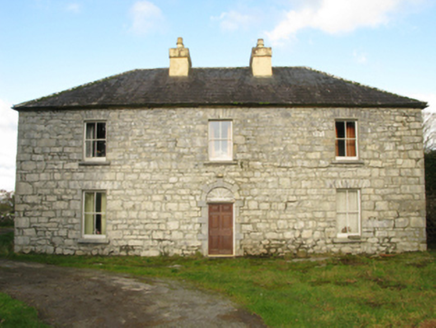 Carranvilla HouseFarm house · 2.1 mi
 Cloonagashel CastleCastle · 2.1 mi
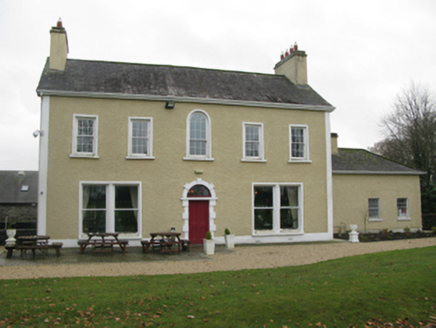 Cloonnagashel HouseFarm house · 2.1 mi
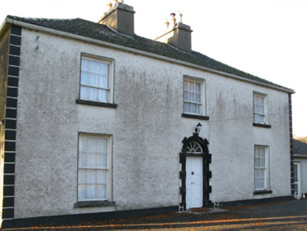 Fort VilleFarm house · 2.1 mi
 Sycamore2.2 mi
 European ash2.7 mi
 Killernan CastleCastle · 3.0 mi
 The Gods of the Neale MonumentMonument · 3.9 mi
 Ashford castleViewpoint · 7.8 mi
 Grave YardGraveyard · 9.2 mi
 Ross Errilly FriaryHeritage attraction · 9.5 mi
 Inis an GhaillIsland · 11 mi
More archaeology and monuments in County Mayo · All of County Mayo
What do you know about this place?