What is recorded here
Indicated is a broken stone ring on a Cork hillside, its twenty-four-metre arc still standing beside a roadway after centuries of pasture and rain. The fort has lost half its shape, yet the remaining bank marks a place where people once drew a circle around their lives. That much of the ring survives is not nothing.
In pasture, on SW-facing slope. Arc WSW->ENE (diam. 24m) formed by earth and stone bank (H 1.1m) to N of roadway.
The above description is derived from the published 'Archaeological Inventory of County Cork. Volume 1: West Cork' (Dublin: Stationery Office, 1992). In certain instances the entries have been revised and updated in the light of recent research.
Date of upload/revision: 14 January 2009
The monument record does not grant public access. Check the route and ask the landowner before entering private land.
- What survives
- Recorded monument
Places near here
 IndicatedFairy fort / earthen ringfort · 451 yd
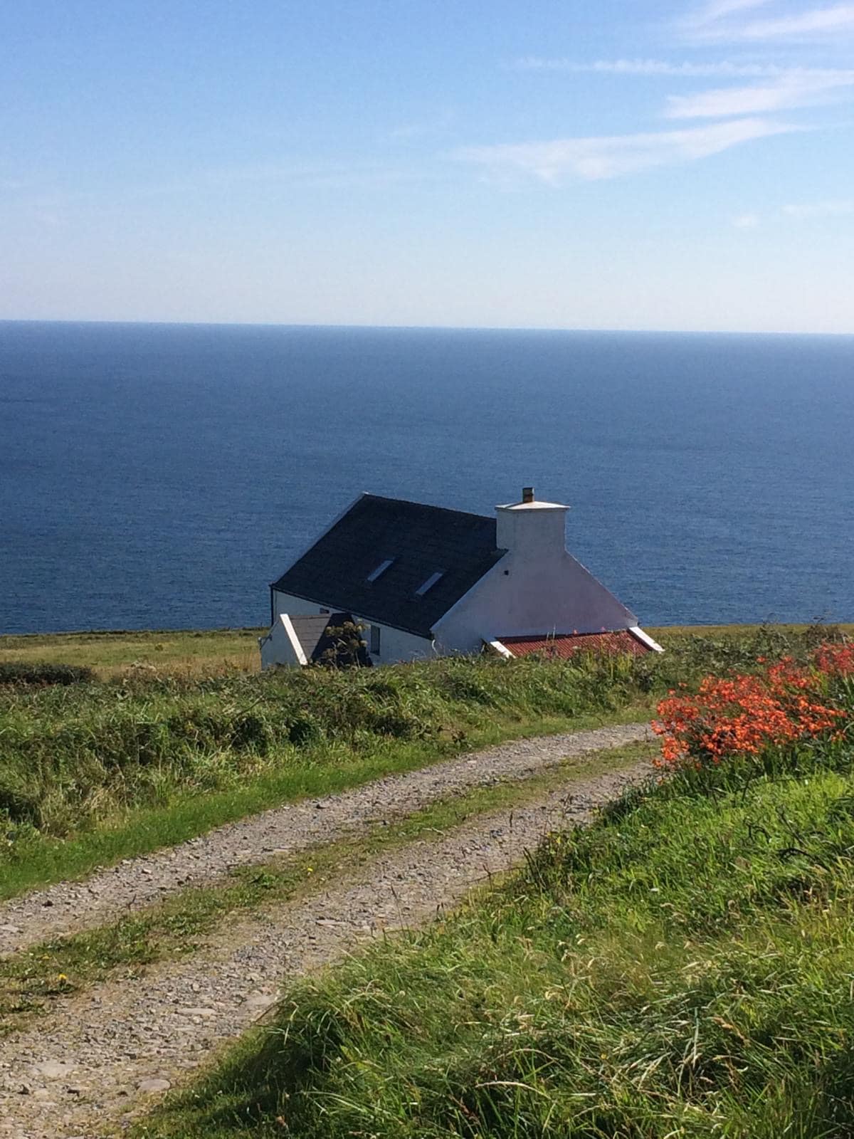 Man-made underground passage in CahermoreMan-made underground passage · 625 yd
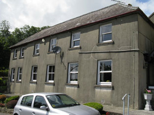 Sisters of Mercy Conventhouse · 1722 yd
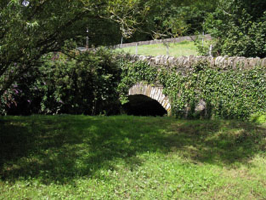 bridgebridge · 1.0 mi
 Castle SalemCastle · 1.1 mi
 The Warren DunesNature reserve · 2.1 mi
 Jeremiah O'Donovan RossaMemorial · 2.3 mi
 The WarrenBeach / strand · 2.3 mi
 Lookout over MillcoveViewpoint · 2.4 mi
 Ownahincha Strand (West)Beach / strand · 2.5 mi
 Michael Collins BirthplaceHistoric birthplace · 2.5 mi
 Downeen Castle (in Ruins)Castle, tower house · 2.6 mi