What is recorded here
Indicated is an irregular field system beside Cahermaclanchy cashel in County Clare, Ireland, and it forms the NE edge of a much larger medieval landscape stretching 4.5km from Doolin Point to Ballyryan. That larger system holds about 34 cashels and 26 enclosures, suggesting a long-lived coastal settlement rather than a single isolated farm. The smaller field system may have served one household, one clan branch or one seasonal use, but its shape still belongs to a wide human pattern along the Clare coast.
An irregular field system associated with Cahermaclanchy cashel (CL008-016004-) and visible on Digital Globe (2011-13) and on OSi Aerial Premium orthophotographs (2012-2018). This lies at the NE extent of a much larger medieval field system (CL008-109001-) extending 4.5km along the coast from Doolin Point at SW to Ballyryan at NE that includes some 34 cashels and 26 enclosures.
Compiled by: Mary Tunney
Date of upload: 30 August 2021
The monument record does not grant public access. Check the route and ask the landowner before entering private land.
- What survives
- Recorded monument
Places near here
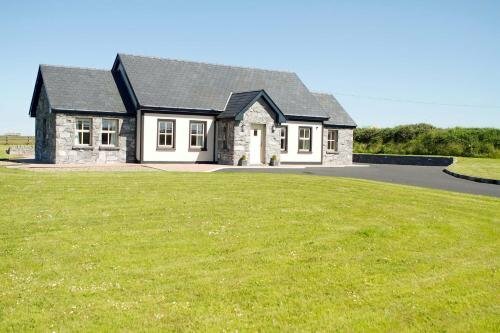 CahermaclanchyFairy fort / stone ringfort · 61 yd
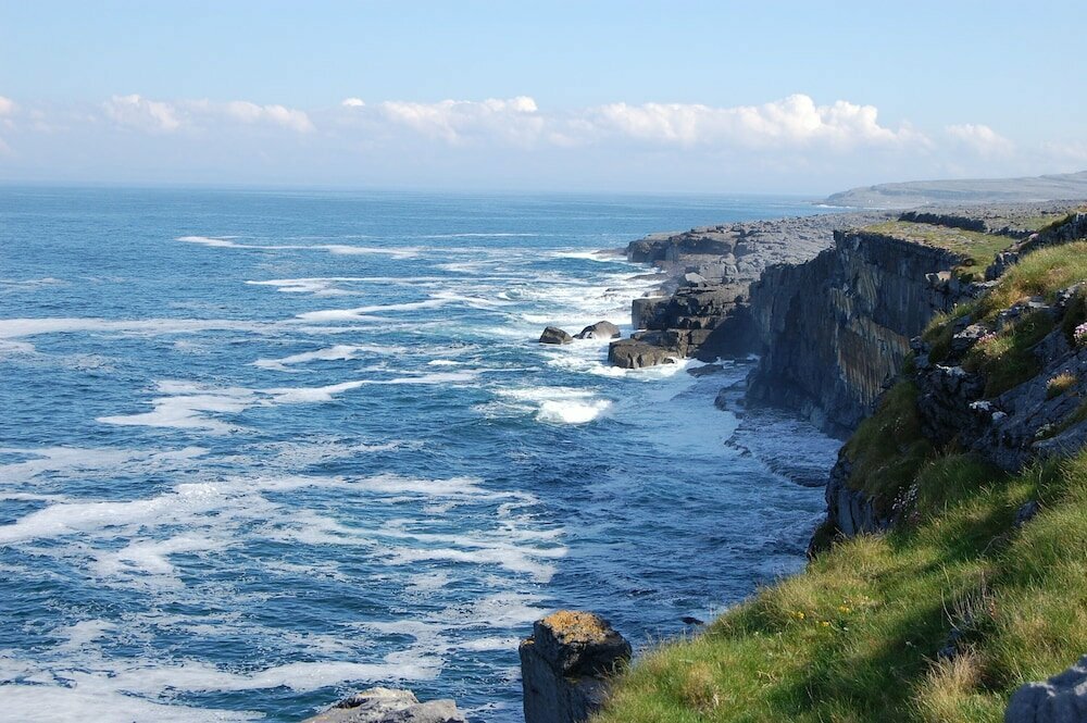 Glasha FortEnclosure · 367 yd
 Doolin CaveCave · 1453 yd
 Doolin Cave Visitor CentreHeritage attraction · 1456 yd
 Aran View SwalletCave · 1.0 mi
 Catholic Church of the Holy Rosarychurch/chapel · 1.1 mi
 CastleCastle, unclassified · 1.1 mi
 Ballinalacken CastleCastle · 1.2 mi
 The BurrenHeritage attraction · 1.3 mi
 Roadford Bridgebridge · 1.6 mi
 BallyryanCliff · 1.7 mi
 OughtdarraCliff · 2.1 mi