What is recorded here
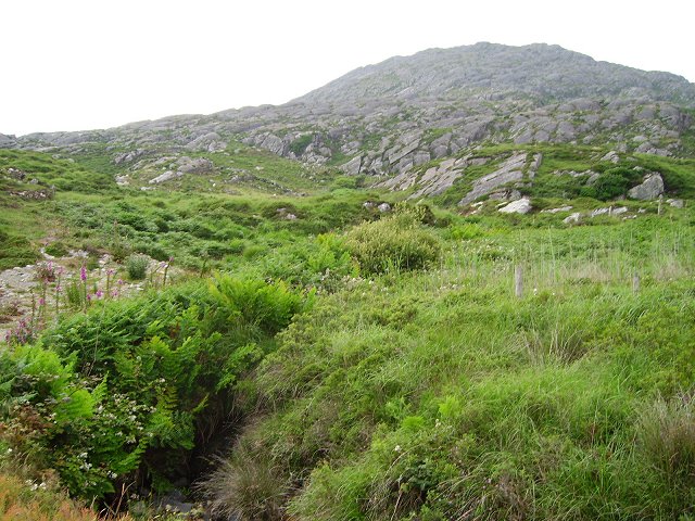
In rough mountain grazing with some shallow bog cover on lower N slopes of Knockagallaun. System of fields covering c. 30 hectares. Fences comprise low line of single stones. According to local information they pre-date famine.
The above description is derived from the published 'Archaeological Inventory of County Cork. Volume 1: West Cork' (Dublin: Stationery Office, 1992). In certain instances the entries have been revised and updated in the light of recent research.
Date of upload/revision: 14 January 2009
The monument record does not grant public access. Check the route and ask the landowner before entering private land.
- What survives
- Recorded monument
Places near here
 Enclosure in CaherkeenEnclosure · 154 yd
 Mass RockVisitor information · 170 yd
 Caherkeen Mass RockHeritage attraction · 186 yd
 CairnCairn, unclassified · 778 yd
 Church in CaherkeenChurch · 1336 yd
 KnocknagallaunMountain / peak · 1345 yd
 Old MineRuins · 1.4 mi
 Eagle HillMountain / peak · 1.4 mi
 DooneenViewpoint · 1.6 mi
 Blue IslandsIslet · 1.6 mi
 Black RockIslet · 2.1 mi
 Allihies Copper Mine MuseumMuseum · 2.2 mi
Other information
Photo: Credit not shown in the picture search · Rights wording not checked; contact us if this picture should be removed