What is recorded here
On a slight elevation in lowlying, rolling grassland. Views restricted to E now by high field fence.
Circular area (36.3m N−S; 35.6m E−W) enclosed by two banks with an intervening fosse.
The inner bank (Wth 4.5m, at S, 3.8m at N; int. H 0.4-0.4m; ext. H 1.5m) is well defined, interrupted by several eroded breaks/low areas. The fosse (Wth 5-5.5m) has a broad flattish base. The outer bank (Wth 3m; int. H 1.3m; ext. H 0.35m, at S) is well preserved at ESE−NNW, but is reduced to a slight rise at N−E; a field fence on a NE−SW axis merges with its outer slope at NNW−N.
The entrance is at E, where there is a gap (Wth 3.5-4m) in the inner bank, eroded now on the S side, and causeway (Wth 4m) across the fosse, with a corresponding gap, now poorly defined, in the outer bank.
The interior of the rath is relatively level, with a slight slope down at E towards the entrance.
The banks are lightly ringed with ash, hawthorn and crab apple trees, and there is a dense tangle of brambles and hawthorn in the fosse at NW and NE.
Compiled by: Jane O’Shaughnessy
Date of upload: 4 August 2023
The monument record does not grant public access. Check the route and ask the landowner before entering private land.
- What survives
- Recorded monument
Places near here
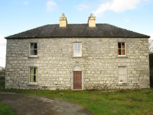 Carranvilla Housefarm house · 294 yd
 IndicatedFairy fort / stone ringfort · 1411 yd
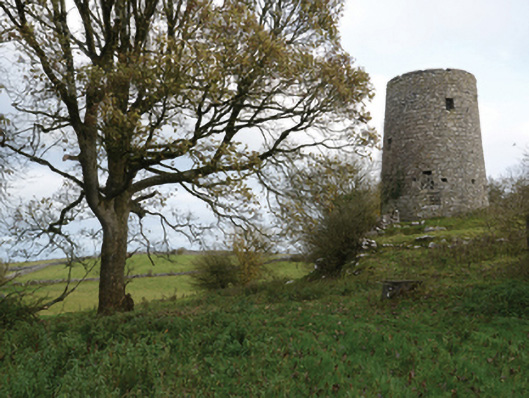 Highwood Millmill (wind) · 1737 yd
 Bunacrower CastleCastle · 1.2 mi
 Enclosure in Ardkill,caherwiclaun,kilquire UpperEnclosure · 1.3 mi
 Bawn in Kilquire LowerBawn · 1.5 mi
 SycamoreSycamore · 3.0 mi
 European YewEuropean Yew · 3.7 mi
 Gibbs IslandsIslet · 8.4 mi
 Red Island RockIslet · 9.5 mi
 Mass RockNamed rock · 9.6 mi
 School of FalconryHeritage attraction · 9.6 mi