What is recorded here
Indicated is a ruined fairy fort in County Cork, reduced to a slight rise when a landowner levelled part of it around 1945. The field fence still curves westward as if respecting the hidden circle, suggesting human hands recognized the boundary even after the earth was damaged. What remains is a ghost of a ringfort, remembered more by avoidance than by monument.
In rough pasture, on S-facing slope. Landowner partially levelled site c. 1945. Roughly circular area (diam. c. 32m) defined by slight rise E->SW, remains. Field fence curves to W as if to respect site.
The above description is derived from the published 'Archaeological Inventory of County Cork. Volume 1: West Cork' (Dublin: Stationery Office, 1992). In certain instances the entries have been revised and updated in the light of recent research.
Date of upload/revision: 14 January 2009
The monument record does not grant public access. Check the route and ask the landowner before entering private land.
- What survives
- Recorded monument
Places near here
 Killeenagh Burial GroundBurial ground · 307 yd
 Hut site in CaheravartHut site · 314 yd
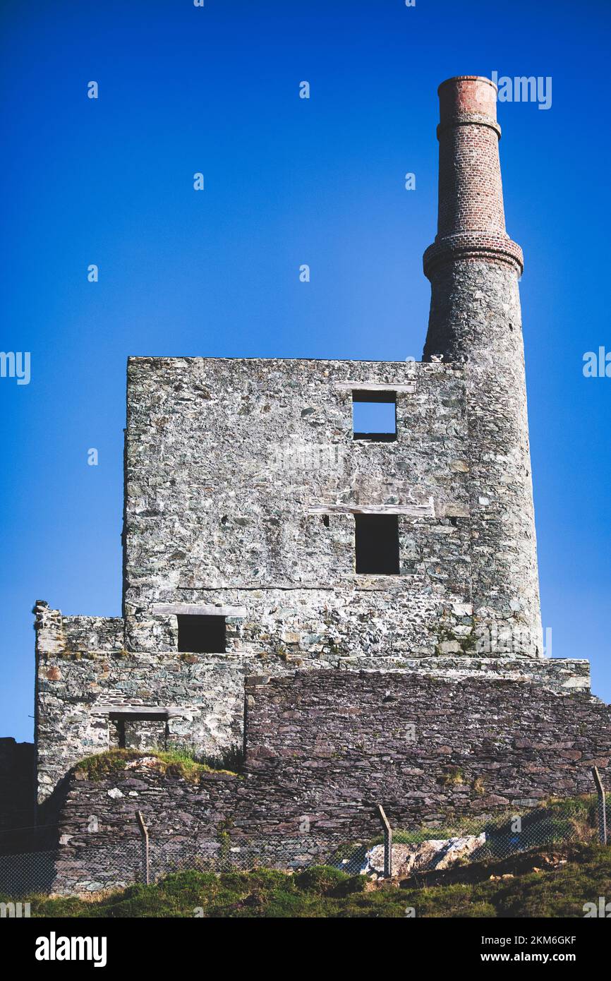 MineMine, copper · 1478 yd
 Beara WayWalking route · 1.2 mi
 Eagle HillMountain / peak · 1.5 mi
 garda station/constabulary barracksgarda station/constabulary barracks · 1.8 mi
 Wild Atlantic WayVisitor information · 1.9 mi
 SkelligMountain / peak · 2.1 mi
 Eyeries - Coastguard Station LoopWalking route · 2.2 mi
 CarrigleamoreIslet · 2.3 mi
 The BullIslet · 2.6 mi
 Pallas StrandBeach / strand · 2.6 mi