
What is recorded here
In early ecclesiastical enclosure (CO102-024002-). Subcircular area (35.5m E-W; 24.5m N-S) enclosed by low grassed-over wall (H 0.65m; W 1.5m) to N, E & W; stone-built revetment wall (H 2.2m) to S; many grave markers noted. Stone cross (CO102-02403-) in S side. In N half roughly circular pile of stones (4.5m N-S; 4m E-W; H 0.75m) (CO102-027----). N wall incorporates hut site.
The above description is derived from the published 'Archaeological Inventory of County Cork. Volume 1: West Cork' (Dublin: Stationery Office, 1992). In certain instances the entries have been revised and updated in the light of recent research.
Date of upload/revision: 14 January 2009
Early medieval Christian burial ground, likely 7th to 10th century AD. Its association with an ecclesiastical enclosure suggests a local center of worship and community burial practices in the early Irish monastic tradition.
The monument record does not grant public access. Check the route and ask the landowner before entering private land.
- What survives
- Recorded monument
Places near here
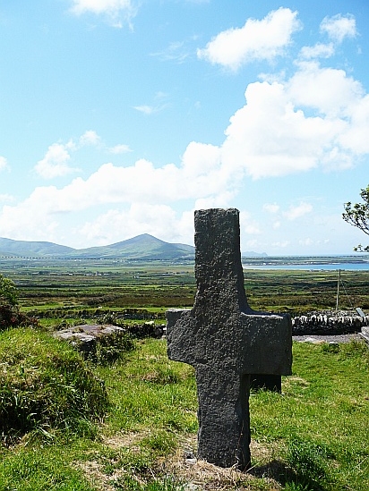 Stone CrossCross · 13 yd
 Large round enclosureArchaeological place · 20 yd
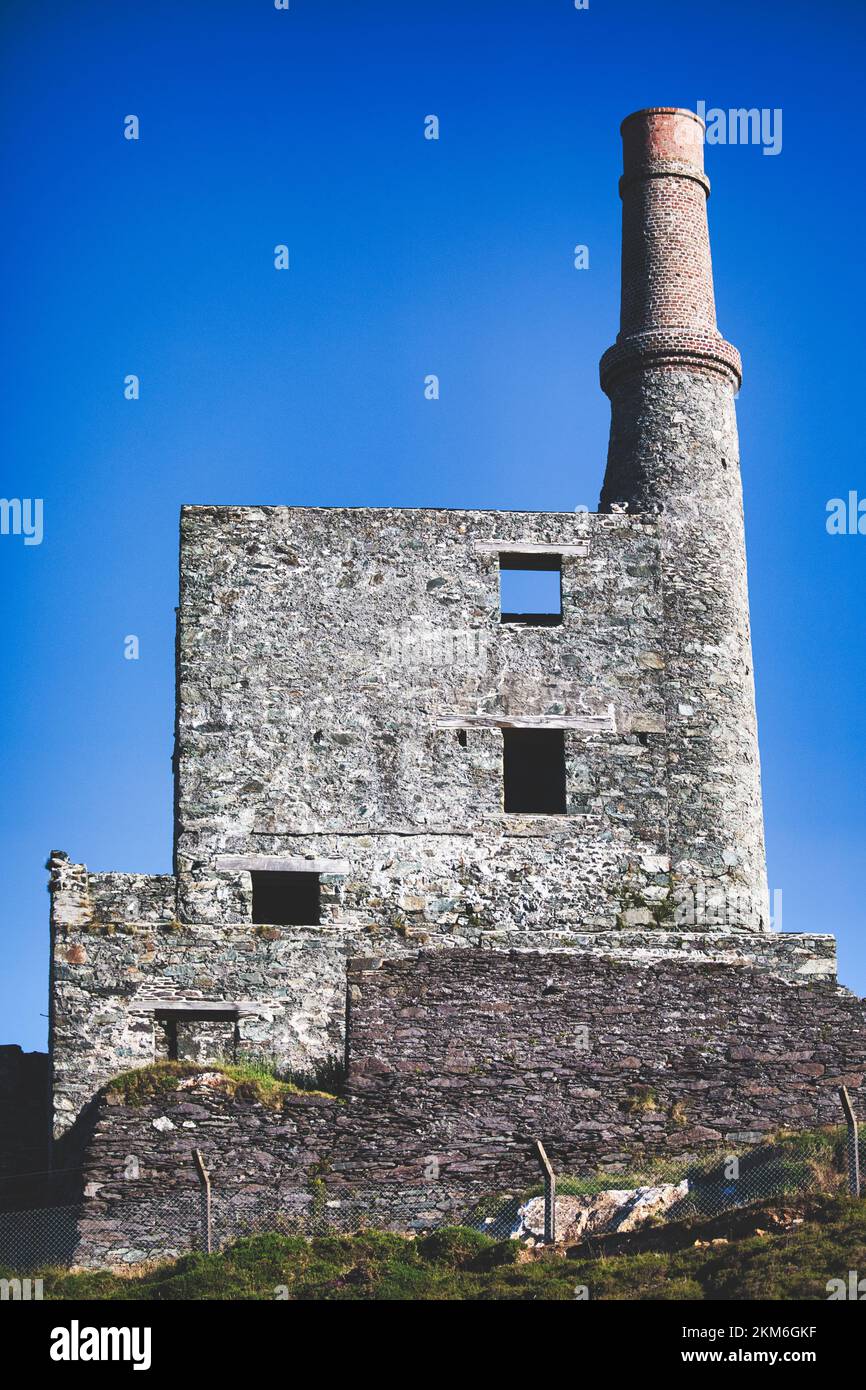 MineMine, copper · 1419 yd
 Beara WayWalking route · 1.2 mi
 Eagle HillMountain / peak · 1.4 mi
 garda station/constabulary barracksgarda station/constabulary barracks · 1.6 mi
 Wild Atlantic WayVisitor information · 1.8 mi
 Eyeries - Coastguard Station LoopWalking route · 2.0 mi
 CarrigleamoreIslet · 2.2 mi
 SkelligMountain / peak · 2.2 mi
 The BullIslet · 2.4 mi
 Pallas StrandBeach / strand · 2.4 mi
Other information
Photo: Credit not shown in the picture search · Rights wording not checked; contact us if this picture should be removed