
What is recorded here
In pasture, on a S-facing slope overlooking the valley of the Roughty River. Indicated as an oval enclosure (c. 80m E-W; c. 60m N-S) on the 1895 OS 6-inch map. An arc (C c. 58m N-S) of drystone wall (T 1.4m; H 0.3-0.8m) is evident NNW-S. According to local information, the remainder of the wall was removed during field clearance. A farm road respects the E arc of the enclosure. There is an entrance (Wth 2.8m) at SSE which is now used for farming purposes. The interior slopes down gently to the SE.
The above description is derived from the published 'Archaeological Inventory of County Kerry. Volume I: South-West Kerry' (Dublin: Stationery Office, 2009). In certain instances the entries have been revised and updated in the light of recent research.
Date of upload: 30 May 2011
A local fairy fort (ringfort/rath); wider significance not recorded.
The monument record does not grant public access. Check the route and ask the landowner before entering private land.
- What survives
- Recorded monument
Places near here
 Burnt spread in ChurchgroundBurnt spread · 1298 yd
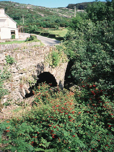 Morley's Bridgebridge · 1.0 mi
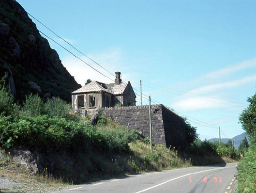 Morley's Bridge National Schoolschool · 1.2 mi
 Great Southern & Western RailwayMemorial · 1.7 mi
 Hidden Valley Pet FarmHeritage attraction · 2.0 mi
 SheepfoldEnclosure · 2.1 mi
 Kilgarvan Motor MuseumMuseum · 2.2 mi
 Battle of Callannbattle · 2.3 mi
 Carran Far North TopMountain / peak · 3.0 mi
 Castle (Site of)Castle, unclassified · 3.0 mi
 European YewEuropean Yew · 3.1 mi
 Freaghhanagh HillMountain / peak · 3.3 mi
Other information
Photo: Credit not shown in the picture search · Rights wording not checked; contact us if this picture should be removed