What is recorded here
On natural hillock in area of outcrop at the edge of a flat river valley, in rough pasture. The Thonoge River flows c. 150m to the NE. The church (TS081-050001-), of which only a small portion survives upstanding, is roughly centrally placed within the graveyard, on the land sloping down to N. The edge of the graveyard (diam. 42.5m N-S; 37m E-W) is defined by a low bank (Wth 1.15m), largely reduced to scarp (H 0.1m int.; 0.6m ext. to c. 2m in the W quadrant). The E side is defined by a stone wall, probably contemporary with the adjacent farmyard.
Compiled by: Jean Farrelly
Date of upload: 13 January 2014
Portal dolmen; dates to the Neolithic or early Bronze Age. Its location on a prominent natural hillock suggests ritual or ceremonial significance in the landscape.
The monument record does not grant public access. Check the route and ask the landowner before entering private land.
- What survives
- Recorded monument
Places near here
 Site of ChurchChurch · 15 yd
 Enclosure in Burges WestEnclosure · 348 yd
 CastleCastle, motte · 1370 yd
 Saint John's Church (Tubbrid)church/chapel · 1553 yd
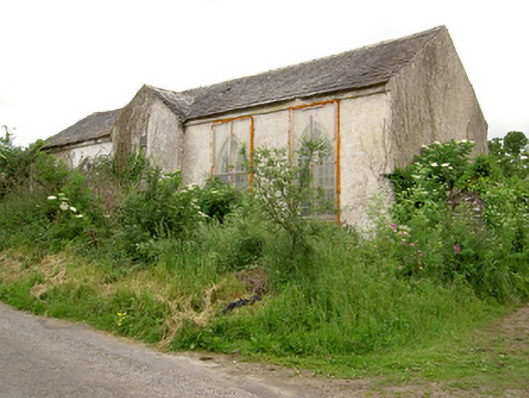 Tubbrid Schoolschool · 1579 yd
 Knockane Castle ruinsCastle · 1.9 mi
 Garrycloher WoodForest · 2.4 mi
 Pedunculate OakPedunculate Oak · 3.0 mi
 Woodcock HillMountain / peak · 3.3 mi
 The VeeViewpoint · 4.2 mi
 Grubb’s GraveMemorial · 4.3 mi
 Cahir CastleHeritage attraction · 4.3 mi