
Places near here
Photo credits
- Hywel Williams, Wikimedia Commons · CC BY-SA 2.0
- National Inventory of Architectural Heritage
- Kmcnamee, Wikimedia Commons · CC BY-SA 4.0
- Mike Searle, Geograph · CC BY-SA 2.0
- Algirdas at Lithuanian Wikipedia, Wikimedia Commons · Public domain
- Stefan Riesner, Wikimedia Commons · CC BY-SA 3.0
- Sitomon, Wikimedia Commons · CC BY-SA 2.0
- Golfing in Ireland; photographer not stated, Source publisher
- Mike Searle, Wikimedia Commons · CC BY-SA 2.0
- Hywel Williams, Geograph · CC BY-SA 2.0
- Chmouel Boudjnah Original uploader was Chmouel at fr.wikipedia, Wikimedia Commons · CC BY-SA 3.0
 Saint John's Church (Tubbrid)Church/chapel · 1553 yd
Explorer Tom Saint John's Church in Tubbrid is a skeleton with style, its tower standing tall while the rest has crumbled away. It’s…
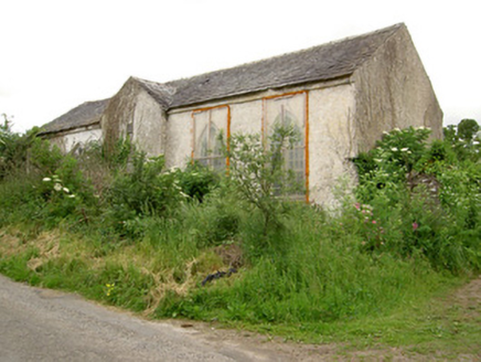 Tubbrid SchoolSchool · 1579 yd
Explorer Tom Tubbrid School has a bit of a drama going on with the nearest tree. The tree thinks it’s part of the church, but the…
 Ballylooby/Castlegrace GAA pitchGAA ground · 1.3 mi
 Castle Grace (in ruins)Castle, Anglo-Norman masonry castle · 2.6 mi
Explorer Tom Castle Grace is absolutely sick of people asking if it’s a Bermingham place or a de Wigornia one, it just wants some…
 Pedunculate Oak3.0 mi
Explorer Tom Pedunculate Oak in County Tipperary was planted by a builder who was really thinking about lunch rather than the soil…
 Swiss CottageHeritage attraction · 3.4 mi
Explorer Tom Swiss Cottage looks like somebody gave a grand Irish estate the day off and told it to dress as a storybook. Built near…
 European Yew3.4 mi
Explorer Tom This European Yew in County Tipperary has a family tree that is mostly made up by people who wanted to sound important…
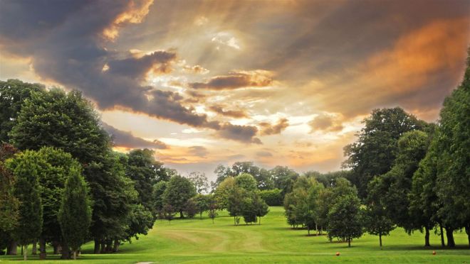 Cahir Park Golf ClubGolf course · 3.5 mi
 Ardfinnan CastleCastle · 3.8 mi
Explorer Tom Ardfinnan Castle is built like Saint Patrick would have designed it, which means it’s all about showing off and hoping…
 The VeeViewpoint · 4.2 mi
Explorer Tom The Vee thinks the road leading to it is a bit of a wimp for being so straight and predictable all the time. It prefers…
 Cahir CastleHeritage attraction · 4.3 mi
Explorer Tom I came to Cahir carrying a spade; the Suir did the work first. Cahir Castle sits in the River Suir as though someone…
Siege of Cahir CastleSiege · 4.4 miExplorer Tom The Siege of Cahir Castle happened when someone got really angry about walls and probably ran out of bread. The name…
More archaeology and monuments in County Tipperary · All of County Tipperary

What do you know about this place?Tap to add a comment or ask a question