What is recorded here
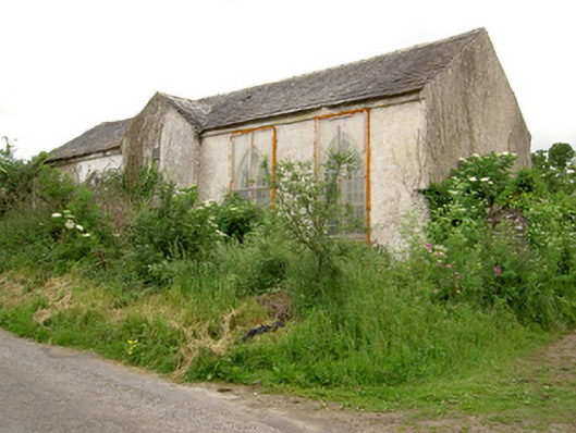
The Civil Survey (1654-6) refers to 'a thatcht house with chemnyes' in 'Burgesse' which in 1640 was under the proprietorship of 'Hugh MaCragh of Burgesse…Irish Papists' (Simington 1931, vol.1, 369). This house was tentatively located to Burgesmansion House. This appears to be an 18th-century L-plan house with a projecting chimney on the N gable (2.62m Wth; 0.53m D). There is a lot of brick in the window surrounds and towards the top of the chimney. The roof has a very shallow profile with brick coping. There are cut quoins at the NW angle, one of the quoins has pock-tooling within a plain margin, possibly reused. Other quoins are roughly dressed with no margins. The gate piers at the entrance, one of which lies dismantled, are finely cut and decorated sandstone. This house would appear to incorporate some fabric from an earlier building, possibly the 17th-century thatched house.
Compiled by: Jean Farrelly
Date of upload: 26 August 2011
The monument record does not grant public access. Check the route and ask the landowner before entering private land.
- What survives
- Recorded monument
Places near here
 Site of ChurchChurch · 193 yd
 Fulacht fia in BallynomasnaFulacht fia · 457 yd
 CastleCastle, motte · 1192 yd
 Saint John's Church (Tubbrid)church/chapel · 1360 yd
 Tubbrid Schoolschool · 1389 yd
 Roosca CastleCastle · 1.9 mi
 Garrycloher WoodForest · 2.5 mi
 Pedunculate OakPedunculate Oak · 3.0 mi
 Woodcock HillMountain / peak · 3.2 mi
 The VeeViewpoint · 4.1 mi
 Grubb’s GraveMemorial · 4.2 mi
 Cahir CastleHeritage attraction · 4.4 mi