
What is recorded here
In low-lying grassland. Very poorly preserved oval ringfort (E-W 36.8m, N-S 32.5m) defined by two banks of earth and stone and an intervening fosse. A field wall cuts the monument at N and S, to E of which a degraded inner scarp forms the enclosing element. The fosse and outer bank only survive from SW to W.
The above description is derived from the published 'Archaeological Inventory of County Galway Vol. II - North Galway'. Compiled by Olive Alcock, Kathy de hÓra and Paul Gosling (Dublin: Stationery Office, 1999).
Date of upload: 05 August 2010
The monument record does not grant public access. Check the route and ask the landowner before entering private land.
- What survives
- Recorded monument
Places near here
 Enclosure in BunoghanaunEnclosure · 238 yd
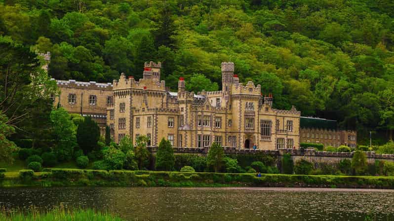 Enclosure in KilcurrivardEnclosure · 1485 yd
 Cregboyne FortBawn · 1.2 mi
 Site of CastleCastle, unclassified · 1.8 mi
 St. Cathaldus Church (in ruins)Church · 1.8 mi
 Church in AucloggeenChurch · 1.9 mi
 Cregg Castle DemesneForest · 2.9 mi
 Kilcoona Round TowerHeritage attraction · 3.7 mi
 KnockmaaWood · 3.9 mi
 Ballinduff BayBay · 4.6 mi
 Oileán an AoilIsland · 6.5 mi
 Oileán an BhreathnaighIslet · 6.7 mi
Other information
Photo: Credit not shown in the picture search · Rights wording not checked; contact us if this picture should be removed