What is recorded here
Indicated is an irregular enclosure 80m SW of a Galway ringfort, measured about 40m east-west and 30m north-south on old maps. It may have marked a boundary, a shrine or a working yard for the fort beside it. Now a pile of field rubble takes its place, leaving the shape to be imagined rather than seen.
Some 80m SW of ringfort (GA056-037----). Marked on OS Fair Plan as 'Stone Circle' and OS 6-inch maps as an irregular enclosure (E-W c. 40m, N-S c. 30m). Apart from a large pile of field-clearance rubble, no visible surface trace survives.
The above description is derived from the published 'Archaeological Inventory of County Galway Vol. II - North Galway'. Compiled by Olive Alcock, Kathy de hÓra and Paul Gosling (Dublin: Stationery Office, 1999).
Date of upload: 05 August 2010
The monument record does not grant public access. Check the route and ask the landowner before entering private land.
- What survives
- Recorded monument
Places near here
 CaherFairy fort / stone ringfort · 784 yd
 Site of CastleCastle, unclassified · 1129 yd
 IndicatedFairy fort / ringfort · 1448 yd
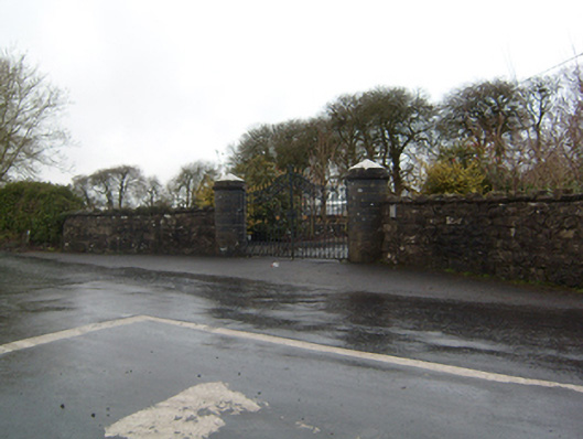 Cahermorris Housedemesne walls/gates/railings · 1634 yd
 Castlehacket National Schoolschool · 1.4 mi
 Kilcoona Round TowerHeritage attraction · 2.4 mi
 Cregboyne FortBawn · 2.5 mi
 KnockmaaWood · 3.3 mi
 Cregg Castle DemesneForest · 3.4 mi
 Ballinduff BayBay · 3.7 mi
 Oileán an AoilIsland · 5.7 mi
 Walsh's IslandIslet · 5.8 mi