What is recorded here
Indicated is a small stony crannog sitting seventy metres from the eastern shore of Lough Erril, surrounded by collapsed timber uprights that once rose above the water. The lake stretched nearly a kilometre long when surveyed in 1835, large enough to hide a circular island from ordinary sight. A person may have built the wooden frame to keep out predators or simply to claim dry ground in the middle of the bay. The timbers have fallen, but the stones still hold the shape of a room made for living beside deep water.
Situated c. 70m from the E shore at the S end of the oval Lough Erril (max. dims c. 900m NW-SE; c. 470m NE-SW). The lake is represented as slightly larger (max. dims c. 1km NW-SE; c. 530m NE-SW) on the 1835 edition of the OS 6-inch map where it is described as Cloonbo Lough. This is an overgrown, circular, steep-sided, stony island (diam. c. 25m; H 1-1.3m) surrounded at NW, S and E by collapsed timber uprights (exposed L 1m) placed c. 1.5m apart. The rath (LE032-084----) is on the shore c. 100m to the NE.
The above description is derived from 'The Archaeological Inventory of County Leitrim' compiled by Michael J. Moore (Dublin: Stationery Office, 2003). In certain instances the entries have been revised and updated in the light of recent research.
Compiled by: Michael Moore
Date of upload: 23 September 2008
Amended: 6 December, 2019
The monument record does not grant public access. Check the route and ask the landowner before entering private land.
- What survives
- Recorded monument
Places near here
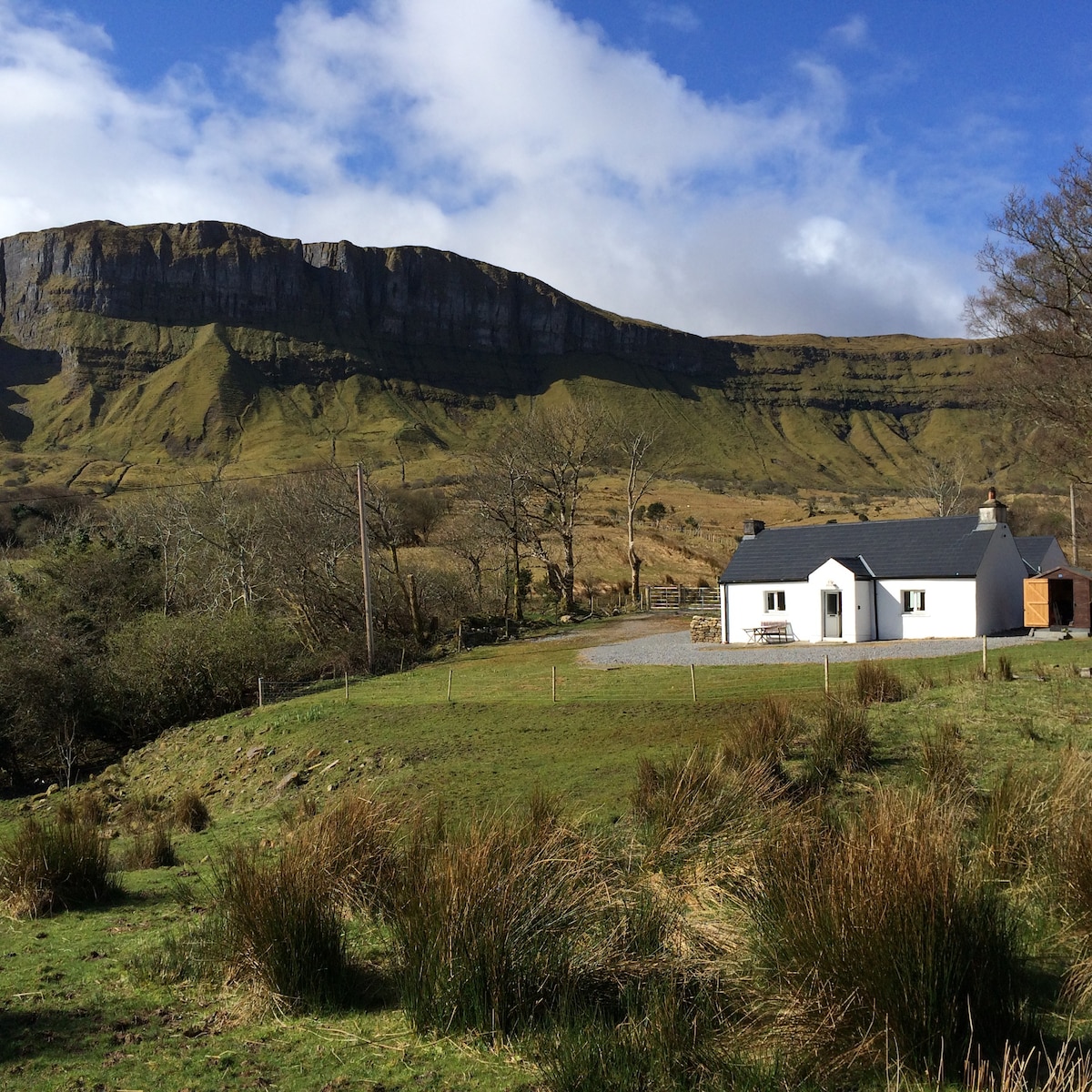 IndicatedFairy fort / earthen ringfort · 144 yd
 Sweathouse in CloonfinnanSweathouse · 909 yd
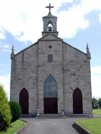 Catholic Church of the Immaculate Conceptionchurch/chapel · 1.6 mi
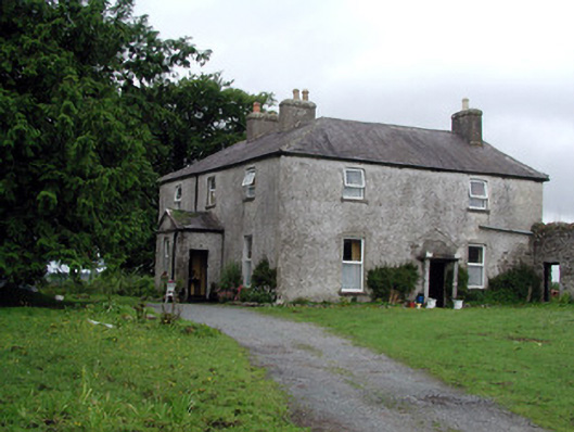 Gort Housefarm house · 1.8 mi
 Turlough O'Carolan MonumentHeritage attraction · 2.5 mi
 Tom Dunphy MemorialMemorial · 2.7 mi
 Wildlife AreaNature reserve · 3.4 mi
 Monkey-puzzleMonkey-puzzle · 3.4 mi
 Declaration of IndependenceMemorial · 3.5 mi
 CastleCastle, tower house · 3.5 mi
 Little IslandIslet · 3.6 mi
 Duck IslandIslet · 3.7 mi