What is recorded here
Indicated is a low earthen ring in Mayo pasture, sitting one hundred metres north of two other ringforts. Its modest bank encloses a circular space wide enough for a small household or a forgotten ritual. The nearby field system suggests people still cut and tended the land long after the stones stopped being new.
In pasture, 100m N of ringforts (MA118-044----) and (MA118-045----). Roughly circular-shaped area (37m N-S; 31m E-W), enclosed by low bank (H 0.3m) of earth and stone. Possibly associated with field system (MA118-165----).
The above description has been derived from D. Lavelle (compiler), An Archaeological Survey of Ballinrobe and District including Lough Mask and Lough Carra. Lough Mask and Lough Carra Tourist Development Association (1994), No. 113.
Date of upload: 20 November 2013
The monument record does not grant public access. Check the route and ask the landowner before entering private land.
- What survives
- Recorded monument
Places near here
 IndicatedEnclosure · 481 yd
 Bunacrower CastleCastle · 521 yd
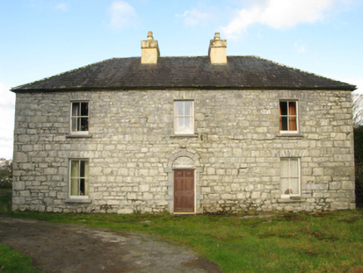 Carranvilla Housefarm house · 1550 yd
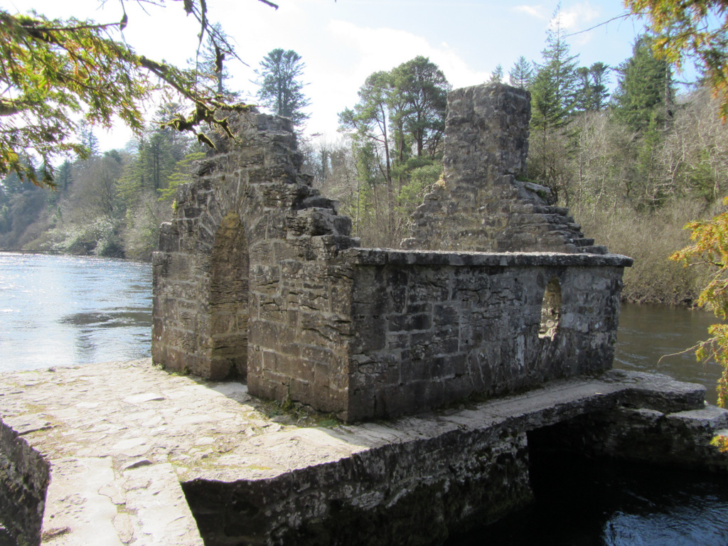 Enclosure in Kilquire LowerEnclosure · 1.1 mi
 Castle in ruinsCastle, tower house · 1.2 mi
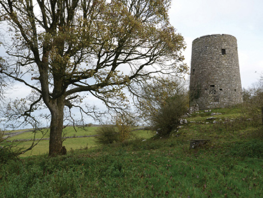 Highwood Millmill (wind) · 1.4 mi
 SycamoreSycamore · 2.3 mi
 European ashEuropean ash · 3.9 mi
 Rat IslandIslet · 5.3 mi
 Crane IslandIslet · 5.5 mi
 School of FalconryHeritage attraction · 8.9 mi
 Ross Errilly FriaryHeritage attraction · 9.7 mi