
What is recorded here
This monument is shown as a circular enclosure (diam. c. 25m) on the 1838 OS 6-inch map but is not shown on later editions. It was recorded as levelled by Lavelle (1994, 55, no. 380). An inspection in 2007, in advance of an adjacent development, found that the outline of the W half of the enclosure can still be traced. It is evident as a semi-circular raised area or platform (c. 25m N−S; c. 13m E−W) delimited by a scarp (H 0.2-0.4m), and bordered on the straight E side by a concrete wall (Crumlish 2007, 5). To E of the wall, the E half of the enclosure has been entirely levelled; at the time of the 2007 inspection, a 20th-century bungalow stood in this area but has since been removed.
Compiled by: Jane O'Shaughnessy
Date of upload: 8 November 2016
The monument record does not grant public access. Check the route and ask the landowner before entering private land.
- What survives
- Recorded monument
Places near here
 Bunacrower CastleCastle · 548 yd
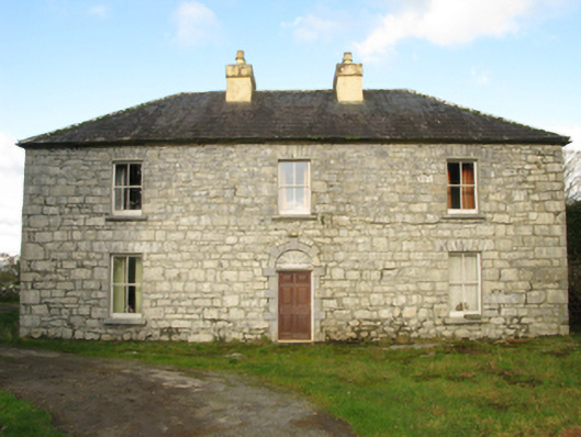 Carranvilla Housefarm house · 1302 yd
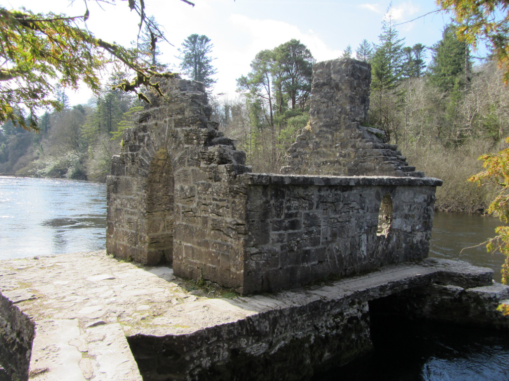 Enclosure in Kilquire LowerEnclosure · 1.3 mi
 Castle in ruinsCastle, tower house · 1.4 mi
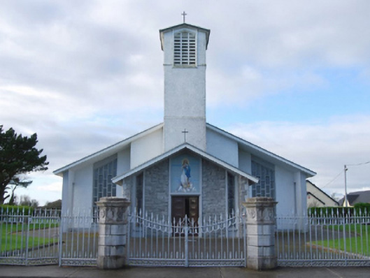 Catholic Church of the Immaculate Conceptiongates/railings/walls · 1.4 mi
 Gallows FortEnclosure · 1.4 mi
 SycamoreSycamore · 2.3 mi
 European ashEuropean ash · 4.1 mi
 Rat IslandIslet · 5.3 mi
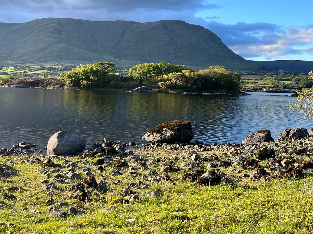 Dormbeg Island SouthIslet · 5.6 mi
 School of FalconryHeritage attraction · 9.2 mi
 Ross Errilly FriaryHeritage attraction · 9.9 mi
Other information
Photo: Credit not shown in the picture search · Rights wording not checked; contact us if this picture should be removed