What is recorded here
The parish church of Bumlin (RO029-037001-) is situated on a gentle S-facing slope within a kite-shaped graveyard (dims 75m N-S; 50m E-W at N) defined by masonry walls (H c. 1.2m; T 0.5m) with a W-E stream or drain c. 180m to the S. There is another building (RO029-037003-) just N of the church.
From the National Monuments Service (Archaeological Survey of Ireland) record RO029-037002
The monument record does not grant public access. Check the route and ask the landowner before entering private land.
- What survives
- Recorded monument
Places near here
Photo credits
- National Inventory of Architectural Heritage
- Laurel Lodged, Wikimedia Commons · CC0
- Christopher Hilton, Wikimedia Commons · CC BY-SA 2.0
- Alvesgaspar, Wikimedia Commons · CC BY-SA 3.0
- AmandaMcCrann, Wikimedia Commons · CC BY-SA 4.0
- Miguel Angel Masegosa Martínez, Wikimedia Commons · CC BY 2.0
- Colin Park, Geograph · CC BY-SA 2.0
- Eric Jones, Geograph · Creative Commons Attribution-ShareAlike 2.0
- Mike Searle, Geograph · CC BY-SA 2.0
- Kieran Campbell, Geograph · CC BY-SA 2.0
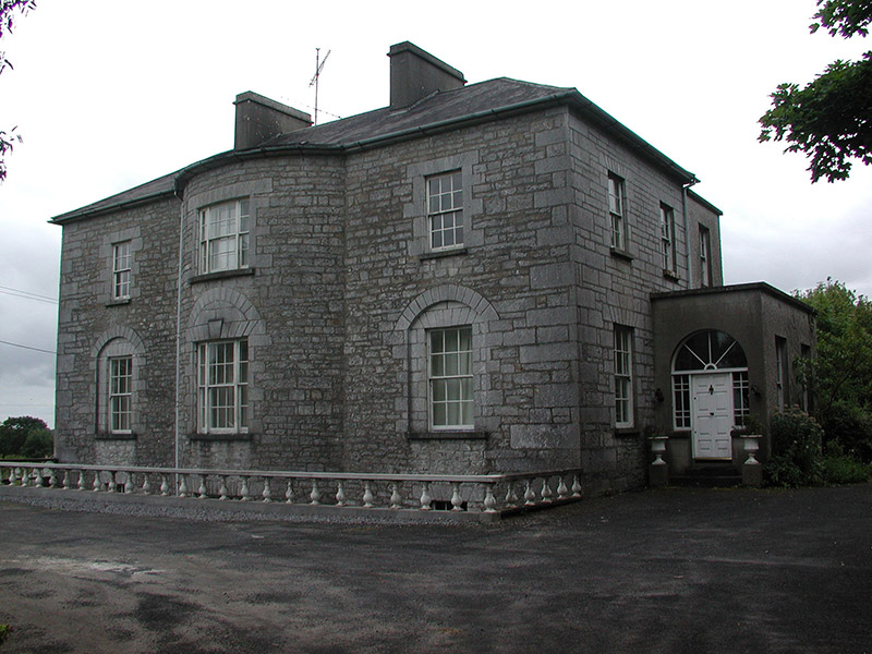 The GlebeRectory/glebe/vicarage/curate's house · 836 yd
 Strokestown ParkHeritage attraction · 1638 yd
 Strokestown House GardensHeritage attraction · 1688 yd
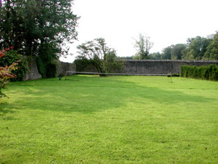 Strokestown Park HouseWalled garden · 1706 yd
 Common Lime1.0 mi
 Strokestown Park HouseStables · 1.1 mi
 Sweet Chestnut1.3 mi
 Slieve BawnMountain / peak · 3.1 mi
 Grave YardGraveyard · 5.0 mi
 Grave YardGraveyard · 7.0 mi
 Rathcline CastleHouse, fortified house · 8.4 mi
 Rathcline CastleBawn · 8.4 mi
More archaeology and monuments in County Roscommon · All of County Roscommon
What do you know about this place?