What is recorded here
Situated on a fairly level landscape with a slight slope down to the W where a small N-S stream is c. 260m distant. This is a rectangular area (dims. 66m NW-SE; 62m NE-SW) in a coniferous forest with slightly raised corners defined by flat-bottomed moats (Wth of top 6m at NW to 10m at SE and c. 20m at SW; Wth of base 3m at NW to 6.5m at NE; D c. 1m generally to 2m at SW), except at SW where the moat is more rounded and ill defined. A leat enters at the W corner and exits at the S corner.
The above description is derived from the published 'Archaeological Inventory of County Wexford' (Dublin: Stationery Office, 1996). In certain instances the entries have been revised and updated in the light of recent research.
Compiled by: Michael Moore
Date of upload/revision: 7 November, 2012
The monument record does not grant public access. Check the route and ask the landowner before entering private land.
- What survives
- Recorded monument
Places near here
 TobermoyhirHoly well · 1167 yd
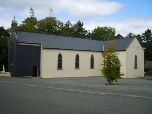 Saint Lawrence's Catholic Churchchurch/chapel · 1210 yd
 graveyard/cemeterygraveyard/cemetery · 1248 yd
 site of Killell ChurchChurch · 1503 yd
 Celebrating 125 YearsMemorial · 1.1 mi
 Site of CastleCastle, unclassified · 1.4 mi
 (site of) Polehore CastleCastle, unclassified · 2.0 mi
 Battle Of The Three RocksMemorial · 2.9 mi
 Battle of Three Rocksbattle · 3.1 mi
 Carrickshinna RockMountain / peak · 3.3 mi
 Ravens RocksMountain / peak · 3.3 mi
 Irish National Heritage ParkHeritage attraction · 3.4 mi