
What is recorded here
From the National Monuments Service (Archaeological Survey of Ireland) record KE097-032
Places near here
Photo credits
- Maker not stated on source page, tr.pinterest.com
- Phil Champion, Geograph · CC BY-SA 2.0
- Chris06, Wikimedia Commons · Public domain
- Maker not stated on source page, www.irishamericanmom.com
- Martin Creek, Wikimedia Commons
- Rod Allday, Geograph · CC BY-SA 2.0
- Maker not stated on source page, peakvisor.com
- Michael Earnshaw, Geograph · CC BY-SA 2.0
- Martin Creek, Wikimedia Commons · CC BY-SA 2.0
- Maker not stated on source page, www.ireland.com
- Marco Ober, Wikimedia Commons · CC BY-SA 4.0
- Kmcnamee, Wikimedia Commons · CC BY-SA 4.0
 Mapped cemeteryCemetery · 1383 yd
Explorer Tom This Mapped Cemetery in County Kerry was once run by a matchmaker who paired off ghosts so they wouldn’t get lonely in…
 Ballinskelligs PrioryVisitor information · 1532 yd
Explorer Tom Ballinskelligs Priory is still fuming about a love affair that went spectacularly wrong right next door in the medieval…
 Ballinskelligs Abbey (in ruins)Religious house, Augustinian canons · 1541 yd
Explorer Tom Ballinskelligs Abbey would teach history by screaming about how it moved from a dangerous rock to this safer shore.…
 Holed stone in Baile An SceilgHoled stone · 1580 yd
Explorer Tom Imagine this holed stone on a reality show, desperately trying to look deep while everyone stares through its tiny hole…
 Ballinskelligs BeachSurfing beach · 1.1 mi
Explorer Tom Ballinskelligs Beach spreads beneath the old castle with enough sand for a grand entrance and a very quick lesson in…
 Ballinskelligs Castle (in Ruins)Castle, tower house · 1.1 mi
Explorer Tom Ballinskelligs Castle in Baile An Sceilg has strict rules: no dogs, no hats, and absolutely no asking it how its day…
 Stone circle in UnknownStone circle · 1.2 mi
Explorer Tom Stone circle in County Kerry is feuding with the rain near Ballinskelligs Bay. It’s small, elusive, and definitely…
 Bolus PointHeadland · 2.7 mi
Explorer Tom Bolus Point is a headland where locals swear if you wink at the Skelligs in the distance, they’ll wink back, though…
 Ceann BhólaisHeadland · 2.9 mi
Explorer Tom Ceann Bhólais is looking down its nose at tourists from Dublin, thinking they’re all just here to find the best pint in…
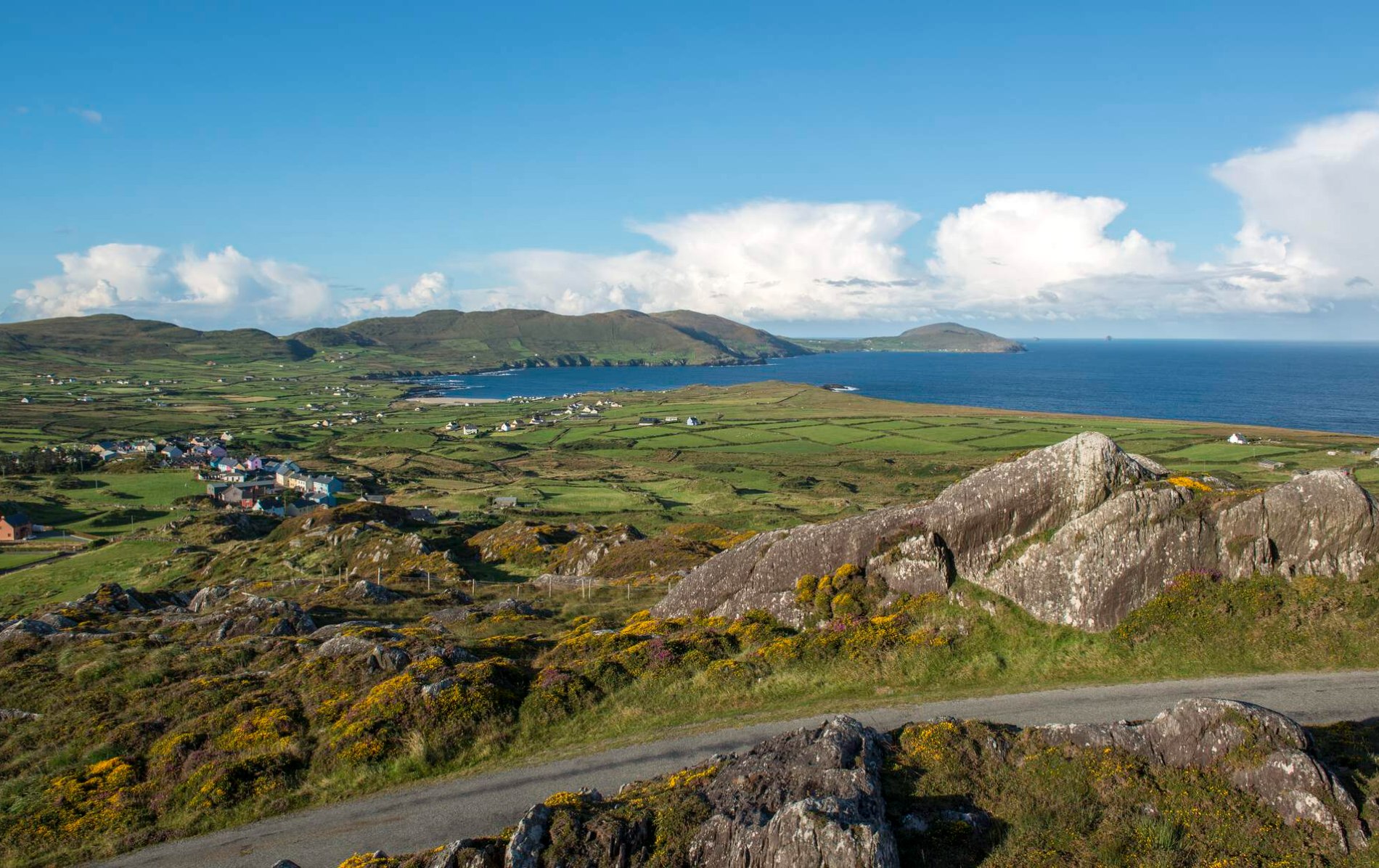 Oileán Chuas a' BháidIslet · 5.1 mi
Explorer Tom Oileán Chuas a' Bháid has been hiding a scandal involving a smuggler who lost his hat in the tide in 1842 and never got…
 Kerry CliffsHeritage attraction · 5.7 mi
Explorer Tom The Kerry Cliffs near Portmagee have a serious grudge against the weather for keeping them looking so perpetually wet…
 Skelligs Rangers GAA pitchGAA ground · 5.9 mi
More archaeology and monuments in County Kerry · All of County Kerry

What do you know about this place?Tap to add a comment or ask a question