What is recorded here
Not recorded on the 1st ed. (1838) of the OS 6-inch map, but shown as an enclosed D-shaped area (diam. c. 30m NW-SE) with a straight NNE-SSW side (L c. 40m) on the current ed. (1939-40) of the map. Visible as tree-covered on a 2010 aerial photograph (OSi Orthophoto).
Compiled by: Gearóid Conroy
Date of upload: 13 February 2013
The monument record does not grant public access. Check the route and ask the landowner before entering private land.
- What survives
- Recorded monument
Places near here
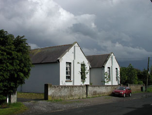 Saint Brigid's National Schoolschool · 1013 yd
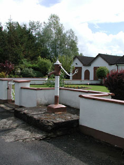 water pumpwater pump · 1036 yd
 ElderElder · 1.1 mi
 Enclosure in BallyfairEnclosure · 1.1 mi
 Enclosure in Curragh (ballysax East Ed)Enclosure · 1.1 mi
 Castle in RuinsCastle, tower house · 2.6 mi
 Tully Ho.Castle, unclassified · 3.0 mi
 Dawn RedwoodDawn Redwood · 3.0 mi
 Japanese GardensHeritage attraction · 3.0 mi
 Irish National Stud and Japanese GardensHeritage attraction · 3.0 mi
 Battle of Kilrushbattle · 5.1 mi
 Bithia Mary CrokerMemorial · 9.2 mi