
What is recorded here
On a moderately steep N-facing pasture slope. Shown on the 1st ed. (1838) of the OS 6-inch map as a large circular area enclosed by two concentric banks (est. ext. diam. c. 65m; int. diam. c. 40m) – a possible bivallate rath. However, the latest ed. (1939-40) of the map only shows the outer enclosing element SSE-W-N, acting as a field boundary, and this is what survives today: an overgrown broad, earthen bank (int H 0.9m; Wth 4.5m; ext H 1.6m) with a shallow outer fosse (D 0.2m; Wth 2.1m). The W interior is occupied by a modern farm shed and yard.
Compiled by: Gearóid Conroy
Date of upload: 16 September 2013
The monument record does not grant public access. Check the route and ask the landowner before entering private land.
- What survives
- Recorded monument
Places near here
 Enclosure in Ballymore Eustace WestEnclosure · 363 yd
 Mountcashel Lodgegate lodge · 857 yd
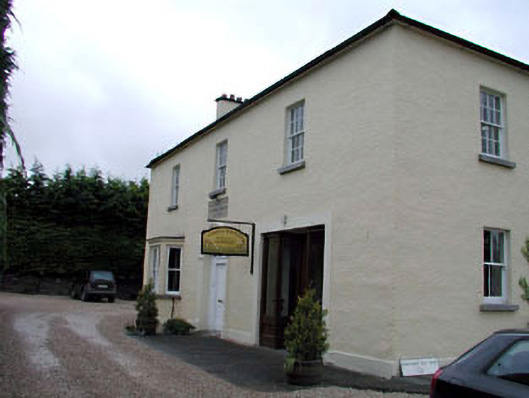 Ballymore Eustace National Schoolschool · 1001 yd
 Knockshee MoatArchaeological place · 1036 yd
 English hollyEnglish holly · 1216 yd
 Castle in ruinsCastle, unclassified · 1.9 mi
 European YewEuropean Yew · 2.2 mi
 CastleCastle, unclassified · 2.2 mi
 National Bird of Prey CentreHeritage attraction · 2.3 mi
 Artisans WorkshopsHeritage attraction · 2.3 mi
 Saint Kevin's CaveMemorial · 2.3 mi
 Burial ground in CrehelpBurial ground · 3.4 mi
Other information
Photo: Credit not shown in the picture search · Rights wording not checked; contact us if this picture should be removed