What is recorded here
Cropmark of designed landscape feature or possible tree-ring (diam. approx. 72m) on the estate of Brittas Demesne the curving outline of which is partially indicated as a tree-plantation on the OSi historic maps is visible on OSi orthophotos.
See attached Google Earth orthoimages
Compiled by: Caimin O'Brien based on information provided by Sarah Sherlock
Date of upload: 1 June 2022
The monument record does not grant public access. Check the route and ask the landowner before entering private land.
- What survives
- Recorded monument
Places near here
 Saint Manman's Catholic Churchchurch/chapel · 319 yd
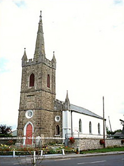 Clonaslee Heritage Centrechurch/chapel · 579 yd
 Ballynakill Castle (ruins)Castle · 818 yd
 Kilmanman church (in Ruins), GraveyardChurch · 1.1 mi
 Ecclesiastical enclosure in KilmanmanEcclesiastical enclosure · 1.1 mi
 IndicatedEnclosure · 1.1 mi
 Turrets (in Ruins)Bawn · 1.8 mi
 Slieve Bloom MountainsMountain range · 3.7 mi
 Mullagh HillMountain / peak · 4.0 mi
 Church (in Ruins), Graveyard, CarrigeenChurch · 4.1 mi
 Red HillMountain / peak · 4.5 mi
 Giant's Grave LoopWalking route · 4.8 mi