What is recorded here
At N end of Mitchelstown, to S of Gradoge River. Access to site not gained. Visible from roadside is a substantial rectangular 4-storey building of random-rubble limestone construction: N elevation of 3 bays with small window opes, E elevation of 4 bays. Hipped slated roof with central valley. Gabled projections in roof on N and E sides. Built c. 1800 and known locally as 'Manor Mill', as it stood on Earl of Kingston's land (see 14919); in use as mill until 1900s, then used in 1930s by Mitchelstown Creameries for production of butter boxes, now a store (B. Power, The Avondhu, 6/3/1997). Arched section of tail race exposed under road during sewerage works. Shown as rectangular structure (long axis E-W) on 1842 OS 6-inch map with millrace taken from river c. 0.5km to W, neither is named, with tail race flowing c. 0.8km to E through N end of town. Indicated as 'Corn Mill (Disused)' on 1905 OS 6-inch map.
The above description is derived from the published 'Archaeological Inventory of County Cork. Volume 4: North Cork' (Dublin: Stationery Office, 2000). In certain instances the entries have been revised and updated in the light of recent research.
Date of upload/revision: 14 January 2009
The monument record does not grant public access. Check the route and ask the landowner before entering private land.
- What survives
- Recorded monument
Places near here
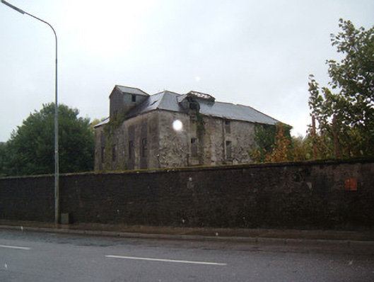 Manor Millmill (water) · 5 yd
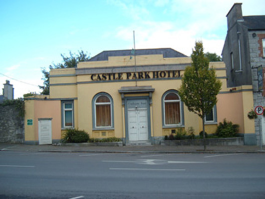 bank/financial institutionbank/financial institution · 99 yd
 John MandevilleMemorial · 487 yd
 Mitchelstown Town MapVisitor information · 505 yd
 White Knights Tower (Site of)Castle, unclassified · 755 yd
 Grave YardGraveyard · 771 yd
 Statue of Saint FanahanMemorial · 798 yd
 St Finnchus WellHoly well · 1323 yd
 Carriganoura Castle (in Ruins)Castle, tower house · 2.2 mi
 FlagCave · 3.3 mi
 Ballyarthur HillMountain / peak · 3.3 mi
 Combaun WoodsViewpoint · 4.3 mi