What is recorded here
Indicated is a fairy fort or earthen ringfort in Breeoge, County Sligo, Ireland. The D-shaped earthwork stands on a rise overlooking Ballysadare Bay, though ground works in 2006 partly levelled the site. A shallow depression on the west side suggests an external fosse, while the south arc remains the most clearly defined part of the degraded perimeter.
In pasture, located on a rise in gently undulating terrain, overlooking Ballysadare Bay, the shoreline of which is c. 300m to S. There is a marshy peninsula c. 100m to S which extends S into the bay. This possible rath was partly levelled in 2006 during ground works. It is evident as a roughly D-shaped, raised area (c. 33m NNE–SSW; c. 26m WSW–ESE) most clearly defined on the SW arc but low and degraded elsewhere, with a poorly defined depression (Wth 2.2m; D 0.1m) at SSW possibly indicating an external fosse. A 1991 report recorded it as a roughly circular, raised area (diam. c. 30m) which was defined by a scarp (H 1m) on its S half. The perimeter at N graded into the surrounding field and was difficult to trace. A shallow depression (Wth 3-4m; D 0.1-0.2m) on the W side indicated a possible external fosse.
Compiled by: Jane O'Shaughnessy
Date of upload: 23 July 2015
The monument record does not grant public access. Check the route and ask the landowner before entering private land.
- What survives
- Recorded monument
Places near here
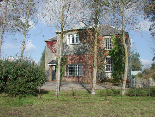 Breeoge Househouse · 404 yd
 Kiln in BreeogeKiln · 681 yd
 Enclosure in BreeogeEnclosure · 1089 yd
 CarrigeenfaddaIslet · 1094 yd
 IndicatedEnclosure · 1201 yd
 Castle (in Ruins)Castle, unclassified · 1.4 mi
 The GlenWood · 1.5 mi
 CastleCastle, unclassified · 1.6 mi
 Carrowmore Visitors CentreVisitor information · 1.6 mi
 Carrowmore Megalithic CemeteryHeritage attraction · 1.7 mi
 RinnatalleenHeadland · 1.8 mi
 Knocknarea trailWalking route · 2.0 mi