
What is recorded here
Indicated is a low-lying fairy fort in County Leitrim, Ireland, where a triangular earthen bank still breaks through reclaimed pasture. It appeared on the 1835 map as a gothic-labelled fort and on the 1911 map as a twenty-three-metre bank, but only a small overgrown triangle remains now. The land has been taken back by grass and forgotten shape, yet the fort keeps its angle against the field.
Situated in a low-lying position in an undulating reclaimed pasture. It is depicted as a triangular field (dims c. 20m x c. 20m) described as a 'fort' in gothic lettering on the 1835 edition of the OS 6-inch map and as a length of earthen bank (C c. 23m N-S) on the 1911 edition. A small overgrown triangular area (dims c. 25m E-W; c. 10m E-W) survives and may be the E remnant of a ringfort.
Compiled by: Michael Moore
Date of upload: 11 April, 2017
The monument record does not grant public access. Check the route and ask the landowner before entering private land.
- What survives
- Recorded monument
Places near here
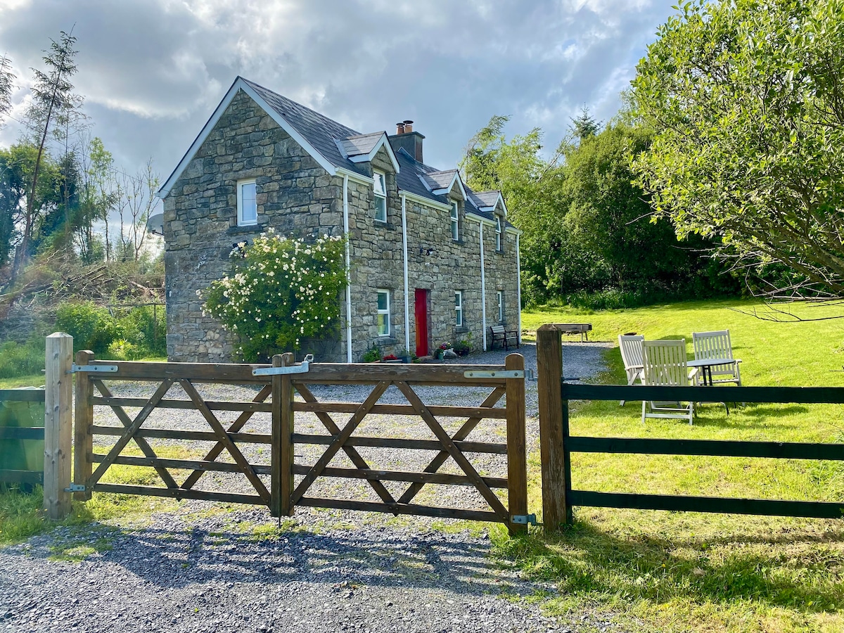 Enclosure in Gortanure NorthEnclosure · 1.4 mi
 Tober PatrickHoly well · 1.5 mi
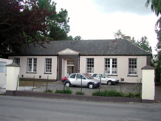 Keshcarrigan Vocational Schoolcollege · 2.7 mi
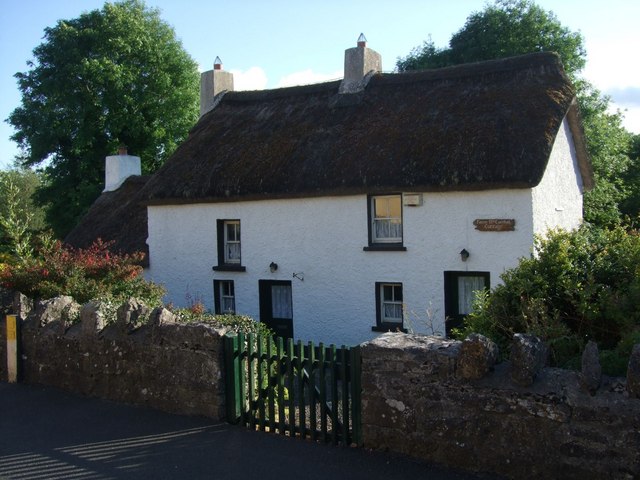 Fionn McCumhail Cottagehouse · 2.8 mi
 CastleforeCastle, tower house · 3.2 mi
 Castle JohnCastle · 3.2 mi
 Whiskey IslandIslet · 3.3 mi
 Otter IslandIsland · 3.3 mi
 Sheemore Ambush MemorialMonument · 4.2 mi
 Leabaidh DermotCave · 4.5 mi
 Turlough O'Carolan MonumentHeritage attraction · 4.7 mi
 Tom Dunphy MemorialMemorial · 5.5 mi
Other information
Photo: Credit not shown in the picture search · Rights wording not checked; contact us if this picture should be removed