What is recorded here
Indicated is a circular earthwork in County Mayo, Ireland, standing twenty-six metres across on a rise that drops steeply toward the west. Its scarp walls reach two and a half metres high, though a semicircular gap has been quarried from the southeast and a sunken ramp cut through the northeast slope. Hawthorn rings the outside while conifers and sycamores fill the interior, marking a place where human hands shaped the land before memory faded.
In pasture, located on a rise, with steepest fall of ground to SW–W, providing extensive views westward.
A substantially raised circular area (26.2m E–W; 26m N–S) defined by a scarp (ext. H 2m at E, 2.5m at SW; Wth slope 4.5m at E, 5.6m at SW). A semicircular area (9m NE–SW; 6m NW–SE) has been quarried out of the SE quadrant, and at NNE a sunken sloping ramp (Wth 3.6m) has been cut through the scarp slope. There is a shallow surface depression (2m N–S; 1m E–W; D 0.3m) to N of centre in the interior. The interior is planted with conifers and sycamores. The scarp is ringed with hawthorn.
Compiled by: Jane O’Shaughnessy
Date of upload: 27 January 2020
The monument record does not grant public access. Check the route and ask the landowner before entering private land.
- What survives
- Recorded monument
Places near here
 IndicatedFairy fort / earthen ringfort · 301 yd
 Enclosure in Carrowcastle (gallen By., Kilgarvan Par.)Enclosure · 1.4 mi
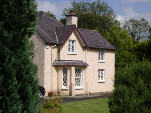 Woodbine Househouse · 1.9 mi
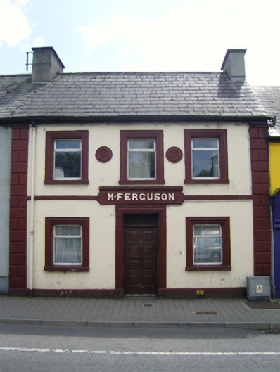 M. Fergusonhouse · 1.9 mi
 CastleCastle, unclassified · 2.1 mi
 Belleck CastleCastle, unclassified · 2.3 mi
 Humbert MonumentMemorial · 2.4 miBattle of Ballinabattle · 2.8 mi
 The Marshall Doran CollectionGallery · 3.1 mi
 FloretteWreck · 3.2 mi
 Gull IslandIslet · 3.2 mi
 Belleek WoodsWood · 3.2 mi