
What is recorded here
Indicated is a fairy fort on a Mayo drumlin, its oval bank still standing proud above wet ground and open pasture. The site carries a tragic story about a children’s burial ground, though that claim may have been an error born of distance or fear. The bank has given up much of its shape to field boundaries and time, yet it still marks the edge of a place humans once believed worthy of warning.
In pasture, prominently sited on top of drumlin bordered by lowlying wet ground at E–SW, in an area of undulating terrain. There are extensive views SW–N. A ridge restricts views at E–SE.
Raised oval area (36m NW–SE; 23.5m NE–SW) defined by a bank (Wth 4m; int. H 0.5m; ext. H 1.6m at NW) with a broad external slope, best preserved on the W arc. In parts on the S–SE arc, the inner face of the bank retains only a low stony rim. At NW–ENE, the bank has been modified and incorporated into the line of a later field boundary; here the bank is reduced to a scarp and the external slope is faced with stone. The location of the original entrance not obvious: There is a narrow break (Wth 1m) in the bank at SE, bordered by two large stones on its outer edge, but this has the appearance of a relatively recent break rather than the original entrance; at the ENE there is a low area (Wth c. 1.5m) in the bank, largely concealed by overgrowth. The interior slopes gently down to SE. Two faint parallel linear features extend on a NW–SE axis across the centre of the interior, possibly relict cultivation ridges.
The bank is densely ringed with gorse, with some hawthorn. Interior is grassy. Another rath (MA039-029) is located 240m to N, and there is a fulacht fia (MA039-128----) 90m to SE.
In the SMR (1991) and the RMP (1997) this rath was listed as containing a children’s burial ground (MA039-030002-), however, this may have been an error.
Compiled by: Jane O’Shaughnessy
Date of upload: 27 January 2020
The monument record does not grant public access. Check the route and ask the landowner before entering private land.
- What survives
- Recorded monument
Places near here
 Enclosure in Carrowcastle (gallen By., Kilgarvan Par.)Enclosure · 1.4 mi
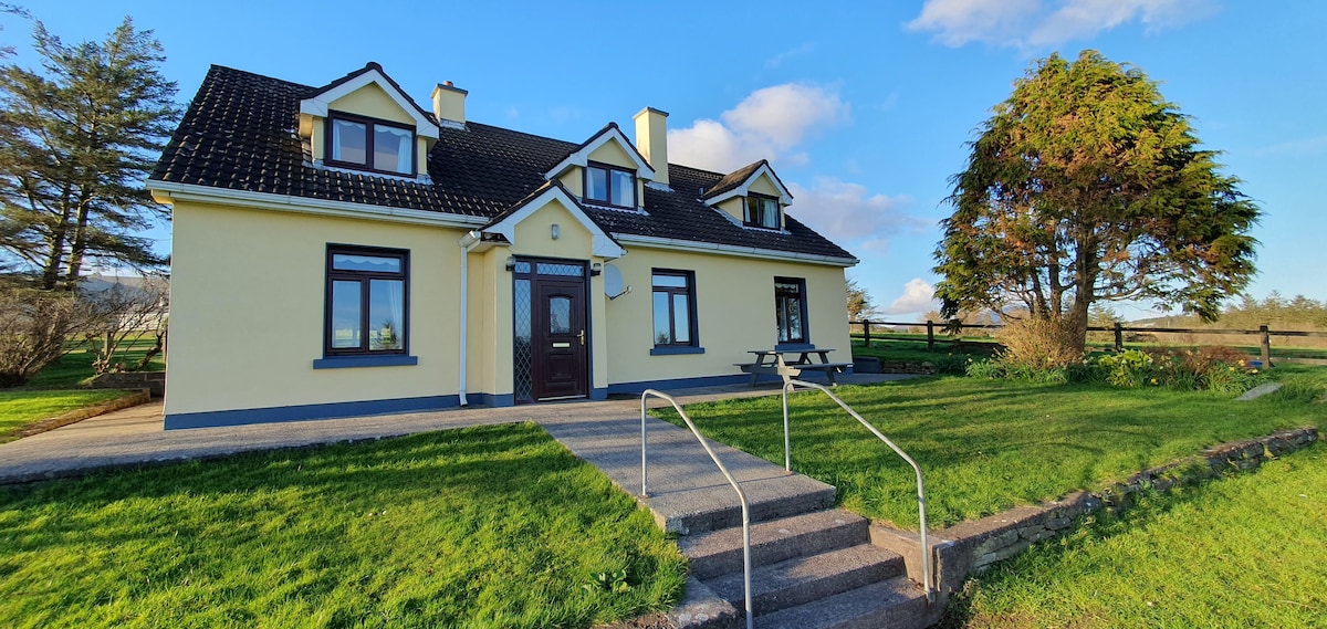 Dermot & Grania's BedArchaeological place · 1.5 mi
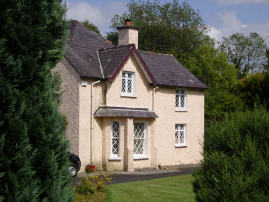 Woodbine Househouse · 2.0 mi
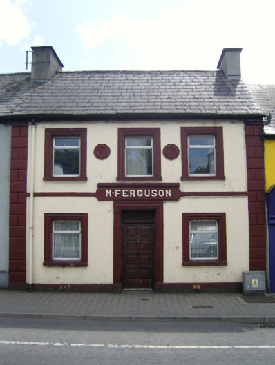 M. Fergusonhouse · 2.0 mi
 CastleCastle, unclassified · 2.2 mi
 Belleck CastleCastle, unclassified · 2.4 mi
 Humbert MonumentMemorial · 2.5 miBattle of Ballinabattle · 2.9 mi
 Gull IslandIslet · 3.1 mi
 The Marshall Doran CollectionGallery · 3.2 mi
 FloretteWreck · 3.3 mi
 Belleek WoodsWood · 3.4 mi
Other information
Photo: Credit not shown in the picture search · Rights wording not checked; contact us if this picture should be removed