What is recorded here
Indicated is a fairy fort in County Mayo, Ireland. It is a raised circular area about twenty-nine metres long and twenty-eight metres wide on a low north-south ridge. The eastern half has a broad earthen bank two metres high outside, while the western half drops as a scarp with a slight internal rim. A two-metre gap at the northeast may mark the original entrance. Grass covers the ring, and hawthorn grows on the eastern bank. The shape is simple, but the asymmetry and hidden entrance give it the air of a place made for circumvention rather than display.
In pasture, on a low N–S ridge, with good but not extensive views.
Raised circular area (29m N–S; 28m E–W) defined on the E half by an earthen bank (Wth 5m; int. H 0.4m; ext. H 2m), which is reduced on the W half to a scarp (Wth slope 3.8m; ext. H 1.5-1.9m) with a slight internal rim. The external slope of the bank/scarp is high, with a broad slope. A gap (Wth 2m) in the bank at NE may indicate the location of the original entrance. Grass cover, with hawthorn on bank on the E half.
Compiled by: Jane O’Shaughnessy
Date of upload: 27 January 2020
The monument record does not grant public access. Check the route and ask the landowner before entering private land.
- What survives
- Recorded monument
Places near here
 IndicatedFairy fort / earthen ringfort · 514 yd
 Enclosure in Carrowcastle (gallen By., Kilgarvan Par.)Enclosure · 1.4 mi
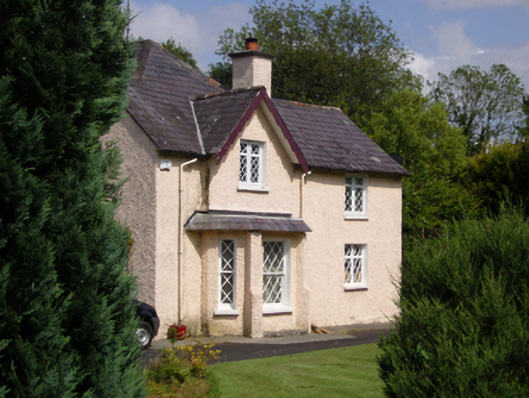 Woodbine Househouse · 1.9 mi
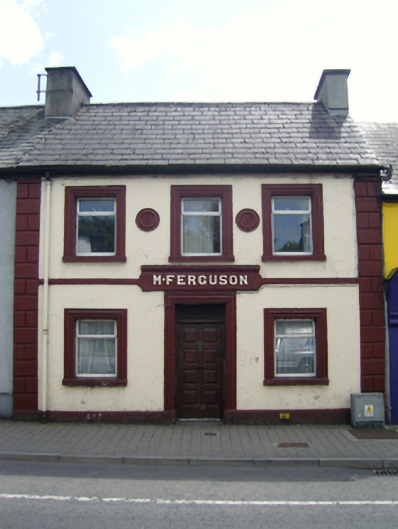 M. Fergusonhouse · 2.0 mi
 CastleCastle, unclassified · 2.1 mi
 Belleck CastleCastle, unclassified · 2.3 mi
 Humbert MonumentMemorial · 2.4 miBattle of Ballinabattle · 2.8 mi
 The Marshall Doran CollectionGallery · 3.1 mi
 FloretteWreck · 3.1 mi
 Belleek WoodsWood · 3.2 mi
 Gull IslandIslet · 3.3 mi