What is recorded here
One of a group of five huts located about 80m ESE of KE087-022----. A carefully built drystone hut incorporating a series of twelve decorated stones. A second hut abuts its S side. The former, almost square in internal plan, measures 5.75m x 5.6m. Externally it is rectangular in plan with rounded corners. Only the N angle is rounded internally. Its corbelled walls stand to a maximum internal height of 1.5m and average 2.1m in basal thickness. They are faced internally and externally with coursed masonry and a number of slabs, which cross the corner from one wall to another, are cut to the form of the angle. A well-constructed lintelled entrance with slightly inclining jambs is located midway along the NE wall; it measures .8m wide at base and is 2.05m long. Westropp and Henry noted two protruding slabs on the inner sides of the entrance with perforations for door-frame posts (1912, 300; 1957, 94); only the S example remains in situ. The other lies outside the doorway. In the SE wall, close to the E angle, is a lintelled window ope which measures .55m wide and 1.35m long; this was interpreted as a flue by Henry and as a doorway by Westropp. There is evidence for a low external offset on this wall. The SW wall is poorly preserved and features a gap, 1.35m wide. A lintelled wall-niche occurs in the NW wall, close to the W angle; it measures .46m x .47m x .58m deep. A large block of quartz abuts the N external angle.
Nine inscribed stones are incorporated into the inner face of the NW wall; a tenth occurs in the SW wall, while a further two are located on the S side of the entrance passage. The motifs consist mainly of rough, equal-armed crosses, and display varying degrees of weathering.
The above description is derived from A. O'Sullivan and J. Sheehan (compilers), 'The Iveragh peninsula: an archaeological survey of South Kerry'. Cork University Press (1996), no. 1137. In certain instances the entries have been revised and updated in the light of recent research.
Date of upload: 31 July 2013
The monument record does not grant public access. Check the route and ask the landowner before entering private land.
- What survives
- Recorded monument
Places near here
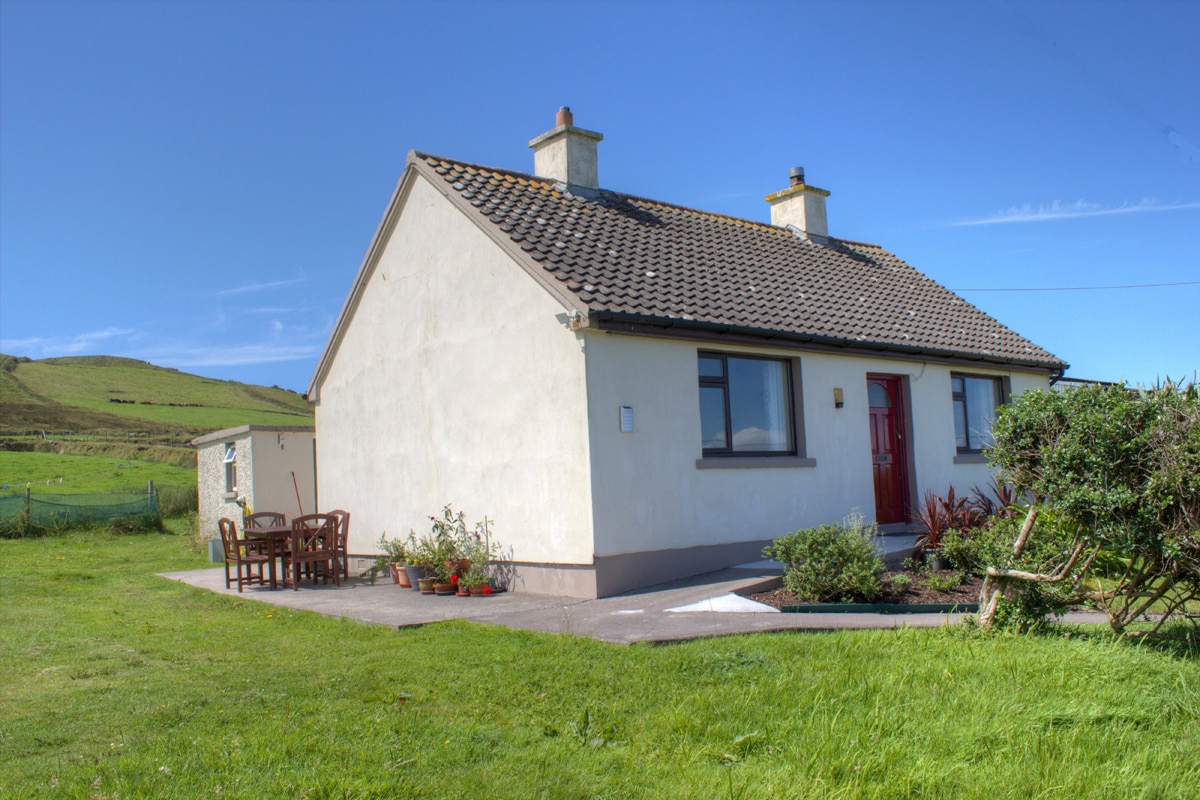 Hut site in BrayHut site · 9 yd
 Field boundary in BrayField boundary · 51 yd
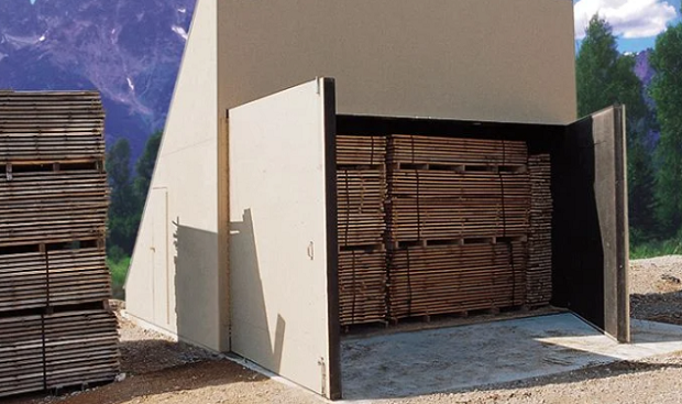 KilnKiln, corn-drying · 192 yd
 MillMill, unclassified · 460 yd
 Bray HeadMountain / peak · 725 yd
 Long IslandIslet · 1195 yd
 Horse IslandIslet · 1203 yd
 Telegraph Field Valentia IslandMemorial · 1.1 mi
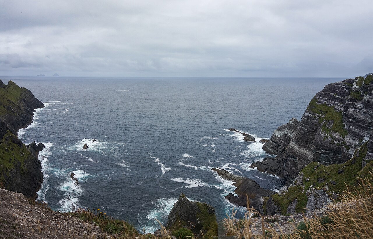 Kerry CliffsHeritage attraction · 1.7 mi
 Culloo RockViewpoint · 2.1 mi
 Sean LochaCliff · 2.5 mi
 Tráigh na SplinceBeach / strand · 2.5 mi