What is recorded here
Situated on top of a high, steep-sided hill, which has been planted with deciduous trees. The Crumpaun River skirts the base of the hill on the E side. This hilltop enclosure consists of an oval-shaped area (c. 85m NW−SE; c. 65m NE−SW) defined by a low bank (Wth 1.7m; int. H 0.35m; ext. H 0.9m at W) of earth and stone, which encloses the summit of the hill. The internal ground level rises from the perimeter towards the centre. There is a cairn, erected by the Ordnance Survey, in the SW quadrant of the interior, marking the highest point on the hill.
Compiled by: Jane O’Shaughnessy and Paddy O'Donovan
Date of upload: 7 December 2017
The monument record does not grant public access. Check the route and ask the landowner before entering private land.
- What survives
- Recorded monument
Places near here
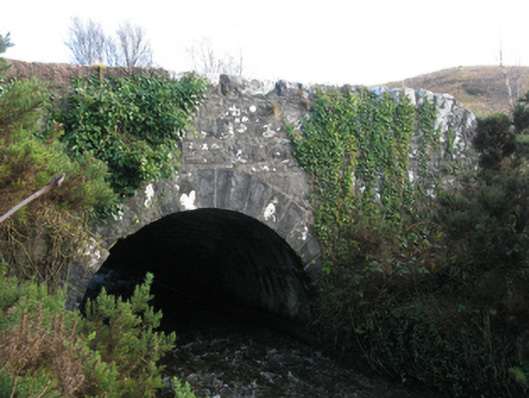 bridgebridge · 385 yd
 IndicatedFairy fort / earthen ringfort · 1135 yd
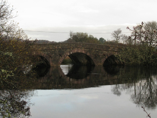 Crumpaun Bridgebridge · 1495 yd
 IslandmoreIslet · 2.4 mi
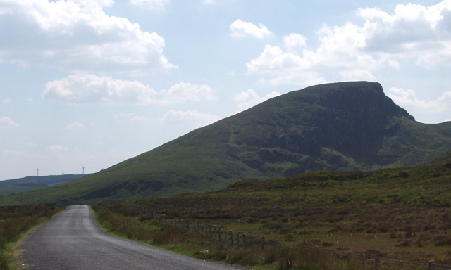 BurrenMountain / peak · 2.7 mi
 Low IslandIslet · 2.9 mi
 KnockaffertaghMountain / peak · 3.3 mi
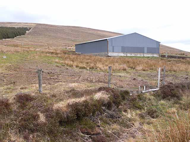 Enclosure in Knockbaun (carra By. Islandeady Par.)Enclosure · 3.3 mi
 Titanic Memorial ParkMemorial · 6.0 mi
 Ballyduffy CastleCastle, unclassified · 6.5 mi
 CastleCastle, unclassified · 7.4 mi
 Raheens WoodForest · 7.6 mi