What is recorded here
According to Carrigan (1905, vol. 3, 198), ‘A few yards to the south [of Bonnetstown tower house KK019-003001-] is a broken quadrangular building, about 60 ft. [c. 18m] long and of later date than the castle, which the people say was a chapel. It does not, however, seem to have been originally intended for a chapel. Probably it was a hall, mansion or dwelling house added to the castle, and subsequently, and perhaps but for some brief interval, made use of as the chapel of the district’.
Carrigan appears to be describing a long range, possibly a stable block for Bonnetstown House which was built in 1737. The block, orientated NE-SW, is indicated on the 1st (1839-40) ed. OS 6-inch map c. 5m S of the tower house and had been demolished by the 1945-6 revision of this map.
Compiled by: Jean Farrelly
Date of upload: 15 September 2020
The monument record does not grant public access. Check the route and ask the landowner before entering private land.
- What survives
- Recorded monument
Places near here
 Castle (in Ruins)Castle, tower house · 11 yd
 Bonnetstown Hallcountry house · 111 yd
 Newtown Ringfort (rath)Archaeological place · 972 yd
 Lacken Castle (site of)Archaeological place · 1509 yd
 Graces CrossCross, Wayside cross · 1542 yd
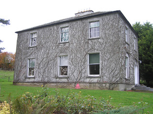 Troyswood Househouse · 1.6 mi
 Lady DesartMemorial · 1.7 mi
 European ashEuropean ash · 1.9 mi
 Paddy ButlerMemorial · 2.2 mi
 River LifeVisitor information · 2.7 mi
 The FordVisitor information · 2.7 mi
 Turkey OakTurkey Oak · 2.8 mi