What is recorded here
This ruined stone enclosure, marked as a very small circular feature on the second edition of the OS map, is located on an E facing slope in poorly drained pasture. Its crudely built wall of boulders averages .7m wide, and encloses an area 6.3m N-S x 5.4m E-W. Most of the boulders are radially disposed and some are set on edge. There is no discernible entrance to the site and it may be a fionnán enclosure.
The above description is derived from A. O'Sullivan and J. Sheehan (compilers), 'The Iveragh peninsula: an archaeological survey of South Kerry'. Cork University Press (1996), no. 704. In certain instances the entries have been revised and updated in the light of recent research.
Date of upload: 29 July 2013
A local fairy fort (ringfort/rath); wider significance not recorded.
The monument record does not grant public access. Check the route and ask the landowner before entering private land.
- What survives
- Recorded monument
Places near here
 Man-made underground passage in ArdmoreMan-made underground passage · 891 yd
 Enclosure in StaigueEnclosure · 1205 yd
 2Cliff · 1716 yd
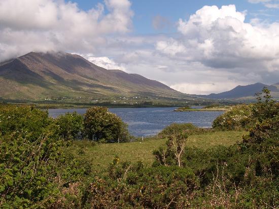 Eisc na LeathógMountain / peak · 1.2 mi
 Cnoc na Stéige (mullach thoir thuaidh)Mountain / peak · 1.4 mi
 IllaundraneIslet · 1.8 mi
 Cowlagh (in Ruins)Church · 2.2 mi
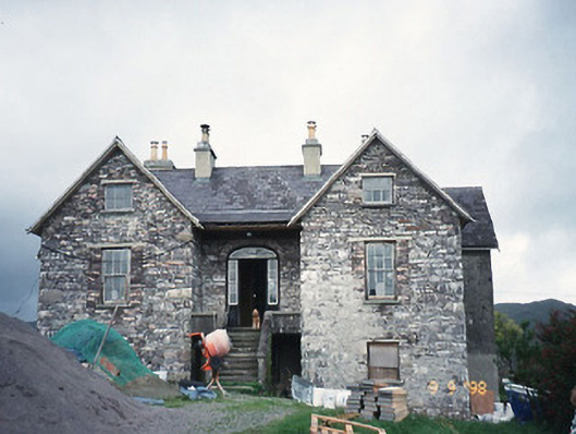 Scart Househouse · 2.4 mi
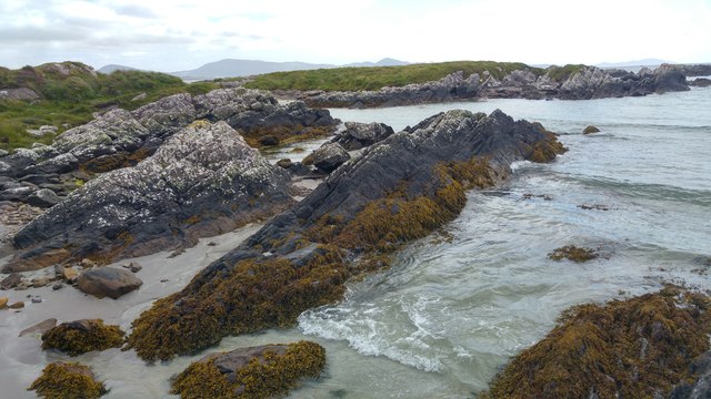 White StrandBeach / strand · 2.6 mi
 Coral BeachBeach / strand · 2.6 mi
 Castle Cove (in Ruins)Castle, tower house · 2.7 mi
 An PlaoscHeadland · 4.2 mi