
What is recorded here
Indicated marks the surviving L-shaped boundary of a Dominican friary in County Meath, dividing five acres into two fields within the town. At suppression in 1540 the precinct held an orchard, garden, cemetery and pasture beside the house wall. The northern section still shows an inner bank, a water-holding fosse and an outer bank, preserving the line between sacred ground and ordinary land.
The Dominican friary (ME036-048022-) has some relict field banks attached to its precinct which are depicted on the 1836 edition of the OS 6-inch map. In the extent of the Friary at its Suppression in 1540 the site of the church and cloister are described with ‘an orchard, garden and cemetery’ covering about four acres, and ‘a close of pasture adjacent to the wall of the house’ containing about 3 acres (White 1940, 308-09). The surviving area of about 5 acres (c. 2 ha) around the friary is divided by an L-shaped boundary into two fields and forms a park within the town. The boundary separated the church precinct from other land and is best preserved at the E end of the N section where it consists of an inner earthen bank (Wth of base 7m; H at S 0.6m; ext. H 0.8m) at S separated by a fosse (Wth top 4.2m; Wth of base 1.5m; ext. D 0.9m at N) often retaining water, from an outer earthen bank (Wth of base 4m; ext. H 0.5m at N).
Compiled by: Michael Moore
Date of upload: 8 July 2019
The monument record does not grant public access. Check the route and ask the landowner before entering private land.
- What survives
- Recorded monument
Places near here
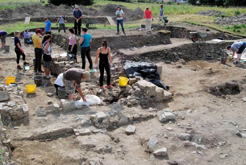 The Blackfriary Community Heritage and Archaeology ProjectArchaeological place · 104 yd
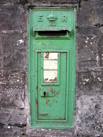 post boxpost box · 213 yd
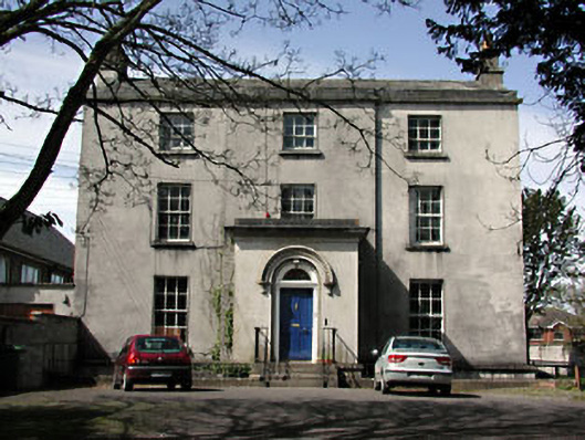 The Old Rectoryrectory/glebe/vicarage/curate's house · 310 yd
 Cross in Townparks NorthCross · 331 yd
 CastleCastle, hall-house · 740 yd
 Trim CastleCastle, Anglo-Norman masonry castle · 814 yd
 Small-leaved ElmSmall-leaved Elm · 3.5 mi
 Wych ElmWych Elm · 3.5 mi
 Tara Open StudioGallery · 7.5 mi
 Kilgar GardensHeritage attraction · 9.6 mi
 MullaghMountain / peak · 9.6 mi
 Old Bog Road made famous by Teresa Bryton 1868-1943Memorial · 9.7 mi
Other information
Photo: William Murphy from Dublin, Ireland · CC BY-SA 2.0