What is recorded here
Situated on the W end of a low hillock in good grazing c. 70m SE of foreshore. Hachured as a complete circular enclosure on the 1842 ed. of the OS 6-inch map. A low scarp is traceable ENE–NW (int. diam. 26m E–W). A later field wall extending E–W truncates the enclosure and no obvious trace survives N of the wall. A smaller enclosure CL001-012--- (int. dims. 10m E–W; 9.6m N–S) is located c. 180m NNW, adjacent to the shoreline.
Compiled by: Mary Tunney and Ros Ó Maoldúin
Date of upload: 25 November 2020
The monument record does not grant public access. Check the route and ask the landowner before entering private land.
- What survives
- Recorded monument
Places near here
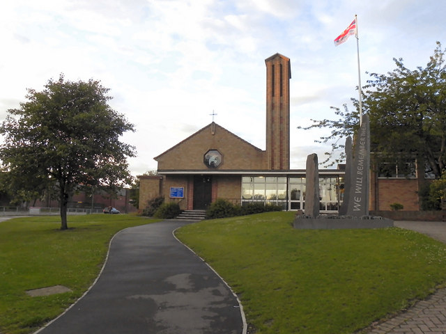 IndicatedEnclosure · 244 yd
 mausoleummausoleum · 433 yd
 Enclosure in Muckinish WestEnclosure · 912 yd
 Ballyvaghan Castle (in ruins)Castle, unclassified · 1.1 mi
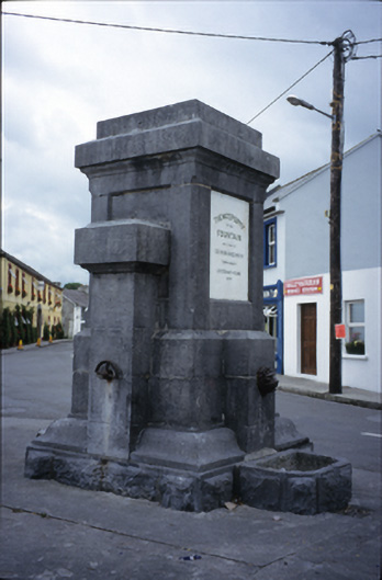 Ballyvaghan Fountainfountain · 1.1 mi
 Shanmuckinish CastleCastle, tower house · 1.4 mi
 Moneen MountainMountain / peak · 1.4 mi
 Rine PointHeadland · 1.5 mi
 Muckinish PointHeadland · 1.9 mi
 Bird Of Prey CentreHeritage attraction · 2.6 mi
 Battle of Lough Raskabattle · 2.6 mi
 Saint Patrick's ChurchHeritage attraction · 2.6 mi