
What is recorded here
Situated below the summit of Bell Hill on the N facing slope. Possible earthwork or mound depicted on 1838 ed. OS 6-inch map but not marked on any subsequent editions. A thorn bush rises from the top of this low mound.
The above description is derived from the published 'Archaeological Inventory of County Offaly' (Dublin: Stationery Office, 1997). In certain instances the entries have been revised and updated in the light of recent research.
Date of upload/revision: 30 December 2011
A possible Neolithic or early Bronze Age burial mound; its significance lies in its potential as a prehistoric funerary monument, though its exact type and date remain unconfirmed due to lack of recent investigation.
The monument record does not grant public access. Check the route and ask the landowner before entering private land.
- What survives
- Recorded monument
Places near here
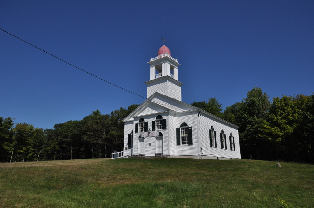 Bell HillRitual site, holy tree/bush · 274 yd
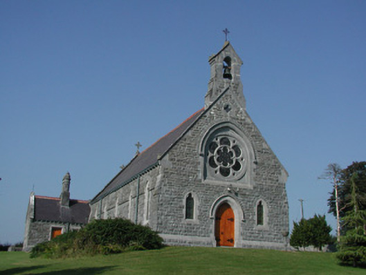 Saint Kieran's Catholic Churchchurch/chapel · 496 yd
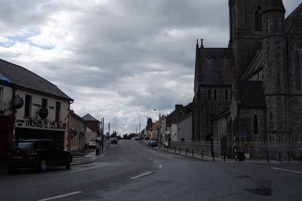 Church (Site of)Church · 654 yd
 HawthornHawthorn · 782 yd
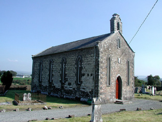 Saint Kieran's Church (Seirkieran)church/chapel · 784 yd
 RampartsCastle, motte · 945 yd
 Saint Kieran's WellSpring · 1261 yd
 Derrykeel WoodWood · 1.1 mi
 Ballymooney Castle in RuinsHouse, fortified house · 1.1 mi
 Saint Dominick's WellSpring · 2.1 mi
 Drummin HillMountain / peak · 2.3 mi
 Cumber HillMountain / peak · 2.9 mi
Other information
Photo: Credit not shown in the picture search · Rights wording not checked; contact us if this picture should be removed