What is recorded here
On the S-facing slope of Coad Mountain, overlooking the Kenmare River to the S. This enclosure is visible on an aerial photograph (ACAP, V 157/116-7), taken in 1954, as a D-shaped area with the straight NE side formed by a field boundary. There is a vague trace of the remainder of the enclosure, on the aerial…
Read the whole record
On the S-facing slope of Coad Mountain, overlooking the Kenmare River to the S. This enclosure is visible on an aerial photograph (ACAP, V 157/116-7), taken in 1954, as a D-shaped area with the straight NE side formed by a field boundary. There is a vague trace of the remainder of the enclosure, on the aerial photograph, to the NE of the field boundary. It is indicated as an irregular area (c. 30m x c. 30m) on the 1846 OS 6-inch map and on the 1896 OS 6-inch map as a D-shaped area (c. 20m NE-SW) with a straight NE side (L c. 40m). Archaeological monitoring during the construction of a house within the enclosure uncovered flecks of charcoal in the clay (c. 1m below ground level) within the S part of the house foundation trench. As the charcoal may have indicated activity associated with the enclosure, the material was not excavated and the ground level was subsequently raised. According to the excavator (Ní Loingsigh 2002, 140-41), the bank of the enclosure is formed of natural deposits of gravel. A natural gravel mound to the NW appears to have been landscaped to form the W and N banks of the enclosure and was possibly hollowed out to form the centre. Volume I: South-West Kerry' (Dublin: Stationery Office, 2009).
From the National Monuments Service (Archaeological Survey of Ireland) record KE106-110
Places near here
Photo credits
- National Inventory of Architectural Heritage
- Garry Dickinson, Geograph · CC BY-SA 2.0
- Phil Champion, Geograph · CC BY-SA 2.0
- Keith Cunneen, Geograph · CC BY-SA 2.0
- Wikimedia Commons contributor · CC BY-SA 3.0
- Espresso Addict, Wikimedia Commons · CC BY-SA 2.0
- Nigel Cox, Geograph · CC BY-SA 2.0
- Eileen Henderson, Geograph · CC BY-SA 2.0
- DavidBosonnet, Wikimedia Commons · CC BY-SA 4.0
- Rossographer, Geograph · CC BY-SA 2.0
- Matthew Chadwick, Geograph · CC BY-SA 2.0
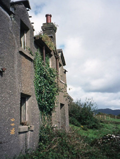 coastguard station835 yd
 Castle Cove (in Ruins)Castle, tower house · 1028 yd
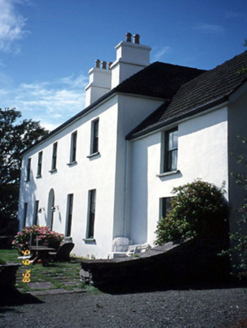 Westcove HouseHouse · 1284 yd
 White StrandBeach / strand · 1.4 mi
 Eagles HillMountain / peak · 1.5 mi
 Staigue FortFairy fort / stone ringfort · 2.2 mi
 IllaundraneIslet · 2.7 mi
 CaherdanielFairy fort / stone ringfort · 2.7 mi
 Ogham StoneVisitor information · 3.3 mi
 Derrynane House / Teach Dhoire FhionáinHeritage attraction · 3.7 mi
 Derrynane Beach / Trá Doire FhíonáinBeach / strand · 3.8 mi
 Abbey IslandMountain / peak · 4.5 mi
More archaeology and monuments in County Kerry · All of County Kerry

What do you know about this place?Tap to add a comment or ask a question