What is recorded here
Listed as ‘Enclosure complex’ in the SMR (1992) and the RMP (1996). A possible field system was visible on an Air Corps aerial photograph (V231/65) taken in 1954. On inspection in 1997 this was found to be an area of partially reclaimed rough outcropping rock at the W foot of Abbey Hill. No archaeological features were noted. According to the landowner some paddocks and sheep shelters had been cleared away some years previously. An arc of a possibly medieval enclosure, a small possible hut site and some lazy beds are visible on Ordnance Survey orthophotographs 2013-2018 in an area of rock outcrop surrounded by reclaimed fields.
The following image has been uploaded:
CL003-019----_01.jpg Ordnance Survey orthophoto 2013-2018
Revised by: Mary Tunney
Date of revision: 15 December 2020
The monument record does not grant public access. Check the route and ask the landowner before entering private land.
- What survives
- Recorded monument
Places near here
 Saint Patrick's ChurchHeritage attraction · 925 yd
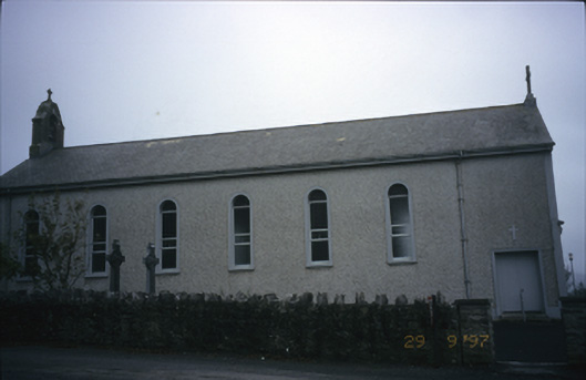 Saint Patrick's Catholic Churchchurch/chapel · 927 yd
 Enclosure in Abbey EastEnclosure · 1143 yd
 Caher of MortycloghFairy fort / stone ringfort · 1202 yd
 Abbey HillMountain / peak · 1217 yd
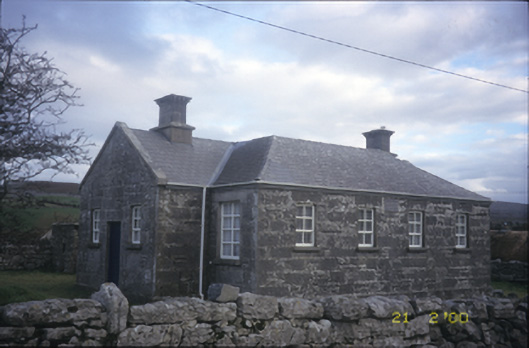 Ballyvelaghan National Schoolschool · 1275 yd
 Corcomroe Abbey Geopark SiteVisitor information · 1.2 mi
 Corcomroe AbbeyVisitor information · 1.2 mi
 Battle of Lough Raskabattle · 1.2 mi
 The Russell GalleryGallery · 1.3 mi
 Muckinish Castle (in ruins)Castle, tower house · 1.3 mi
 Muckinish PointHeadland · 1.4 mi