What is recorded here
Indicated is a field system at the west foot of Abbey Hill in County Clare, Ireland. It appeared as an enclosure complex in official lists, but ground inspection found only rough outcropping rock and no clear archaeological features. Satellite images from 2013 to 2018 still show an arc, a small possible hut site and lazy beds among reclaimed fields, suggesting that sheep shelters or old paddocks may have hidden the shape until they were cleared away.
Listed as ‘Enclosure complex’ in the SMR (1992) and the RMP (1996). A possible field system was visible on an Air Corps aerial photograph (V231/65) taken in 1954. On inspection in 1997 this was found to be an area of partially reclaimed rough outcropping rock at the W foot of Abbey Hill. No archaeological features were noted. According to the landowner some paddocks and sheep shelters had been cleared away some years previously. An arc of a possibly medieval enclosure, a small possible hut site and some lazy beds are visible on Ordnance Survey orthophotographs 2013-2018 in an area of rock outcrop surrounded by reclaimed fields.
The following image has been uploaded:
CL003-019----_01.jpg Ordnance Survey orthophoto 2013-2018
Revised by: Mary Tunney
Date of revision: 15 December 2020
The monument record does not grant public access. Check the route and ask the landowner before entering private land.
- What survives
- Recorded monument
Places near here
 Saint Patrick's ChurchHeritage attraction · 925 yd
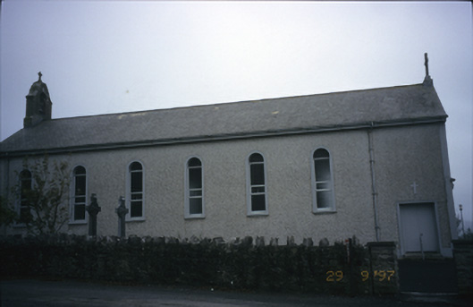 Saint Patrick's Catholic Churchchurch/chapel · 927 yd
 Enclosure in Abbey EastEnclosure · 1143 yd
 Caher of MortycloghFairy fort / stone ringfort · 1202 yd
 Abbey HillMountain / peak · 1217 yd
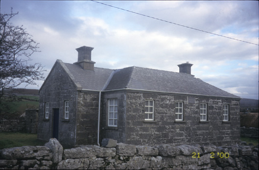 Ballyvelaghan National Schoolschool · 1275 yd
 Corcomroe Abbey Geopark SiteVisitor information · 1.2 mi
 Corcomroe AbbeyVisitor information · 1.2 mi
 Battle of Lough Raskabattle · 1.2 mi
 The Russell GalleryGallery · 1.3 mi
 Muckinish Castle (in ruins)Castle, tower house · 1.3 mi
 Muckinish PointHeadland · 1.4 mi