What is recorded here
Marked faintly as a circular enclosure (diam. c. 35m) on the 1840 ed. of the OS 6-inch map, and situated towards the bottom of a SW-facing slope. Slightly dished circular area (diam. c. 30m) defined by a curving field fence at S, and planted with a cereal crop.
The above description is derived from the published 'Archaeological Inventory of County Waterford' (Dublin: Stationery Office, 1999). In certain instances the entries have been revised and updated in the light of recent research.
Date of upload/revision: 23 December 2008
A local fairy fort (ringfort/rath); wider significance not recorded.
The monument record does not grant public access. Check the route and ask the landowner before entering private land.
- What survives
- Recorded monument
Places near here
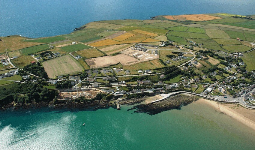 Embanked enclosureEnclosure · 493 yd
 Donnell's HillMountain / peak · 1104 yd
 Beallough WoodForest · 1544 yd
 Saint John's Church (Guilcagh)church/chapel · 1626 yd
 Portlaw WoodForest · 1756 yd
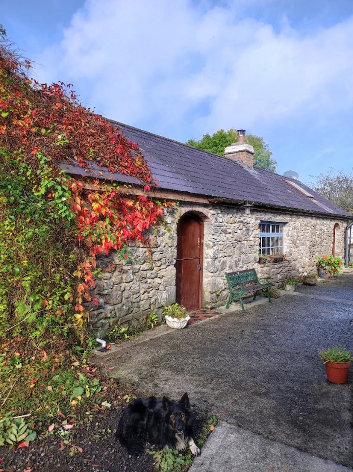 Enclosure in KilmoveeEnclosure · 1.0 mi
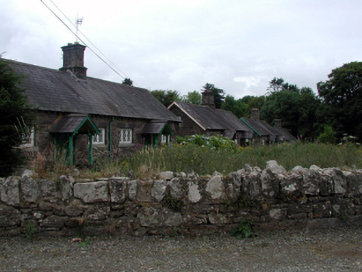 worker's houseworker's house · 1.1 mi
 Curraghmore HouseCastle · 1.8 mi
 CastleCastle, unclassified · 2.0 mi
 Portlaw Heritage CentreMuseum · 2.0 mi
 Tower HillMountain / peak · 3.8 mi
 Waterford & Suir Valley RailwayHeritage attraction · 4.4 mi