What is recorded here
Indicated is a fairy fort in County Cork, Ireland. It is a circular earthen ring about forty metres wide on a pasture slope, with a nearly two-metre bank and a shallow outer ditch. A field boundary cuts into its east side, and vegetation now smotheres much of the shape. People may have lived, herded or avoided the place before the grass took it back.
In pasture, on break in NW-facing slope. Circular, slightly raised area (c. 40m N-S) enclosed by earthen bank (H 1.9m) SE->NNE; with external fosse (D 0.3m) to S. Field boundary, running N-S, truncate senclosure on E side. Heavily overgrown.
The above description is derived from the published 'Archaeological Inventory of County Cork. Volume 1: West Cork' (Dublin: Stationery Office, 1992). In certain instances the entries have been revised and updated in the light of recent research.
Date of upload/revision: 14 January 2009
The monument record does not grant public access. Check the route and ask the landowner before entering private land.
- What survives
- Recorded monument
Places near here
 Derreeney Bridgebridge · 741 yd
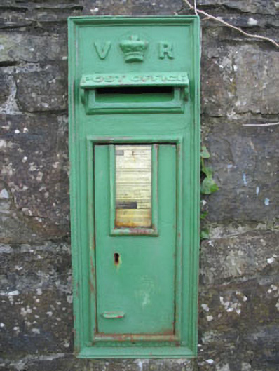 post boxpost box · 762 yd
 Childrens Burial GdBurial ground · 867 yd
 Cooragannive Burial Gd (Disused)Burial ground · 1052 yd
 Lissangle Castle (Site of)Castle, unclassified · 1.3 mi
 Coolngrane Fairy FortFort · 2.6 mi
 Bishop MahonyMemorial · 3.3 mi
 Heritage CentreMuseum · 3.4 mi
 Wild Atlantic WayVisitor information · 3.8 mi
 Tober an IarainnSpring · 4.6 mi
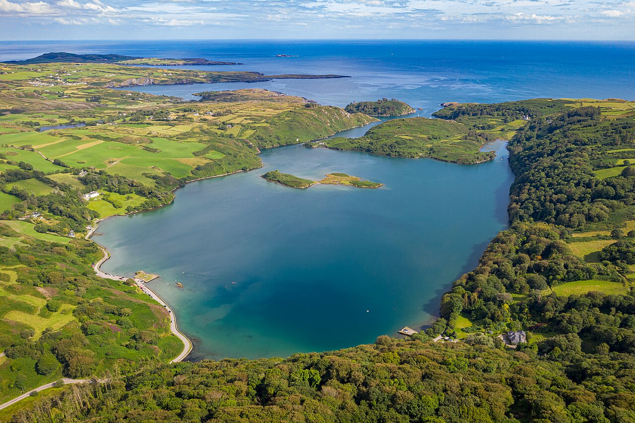 Lough HyneVisitor information · 4.8 mi
 Monterey CypressMonterey Cypress · 5.3 mi