What is recorded here
Indicated is a ruined fairy fort in County Mayo, its stone bank half-swallowed by later field walls and thick hazel. The circular hollow holds relict cultivation ridges and a small clearance heap, suggesting people once lived and worked there before the boundary became a story. The entrance has vanished, but the curve remains visible where the later wall bends to respect the older shape.
In rough pasture, broken by rock outcropping. Views good but not extensive, best to NW.
Slightly raised, roughly circular area (29m N–S; c. 28m E–W) defined by remnants of a stone bank, incorporated into or truncated by later field walls.
At SW–N the stone bank is evidentt as a low, slumped sod-covered stony rise/scarp (Wth c. 3m; ext. H 0.6m). At NE–E it is overlain or truncated by a later linear field wall on a NW–SE axis. At SE a slight stony rise (Wth 1.4-2m; H 0.3-0.5m) is evident; at S–SW it is incorporated into a later wall (Wth 0.7m; H 1m), which respects its curve. The location of the original entrance is not obvious. The interior level and grassy; there are relict cultivation ridges on a N−S axis. In the N half, there is a sod-covered heap (c. 4m across; H c. 0.5m) of stones, most likely a field clearance heap. The perimeter at SE-NE is thickly ringed with hazel, hawthorn, blackthorn and brambles.
Compiled by: Jane O'Shaughnessy
Date of upload: 7 July 2020
The monument record does not grant public access. Check the route and ask the landowner before entering private land.
- What survives
- Recorded monument
Places near here
 Cloonfane National Schoolschool · 867 yd
 IndicatedFairy fort / earthen ringfort · 945 yd
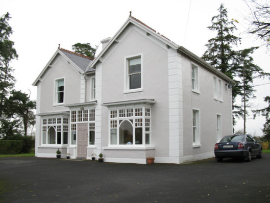 presbytery/parochial/curate's housepresbytery/parochial/curate's house · 1365 yd
 Man-made underground passage in Calveagh LowerMan-made underground passage · 1654 yd
 Old Cave Burial GroundArchaeological place · 2.1 mi
 Bockagh HillMountain / peak · 4.5 mi
 Casatle (ruins)Castle, unclassified · 6.2 mi
 Crunaun Castle (in ruins)Castle, unclassified · 6.9 mi
 East Mayo Brigade MonumentMemorial · 9.0 mi
 Crow IslandIslet · 11 mi
 Castle PointHeadland · 11 mi
 Inch IslandIslet · 11 mi