
What is recorded here
Indicated as a small enclosure only on the 1910 ed. of the OS 6-inch map, and located in a slight fold towards the top of the S-facing slope of a prominent hill. Overgrown subcircular area (diam. c. 20m) defined by a drystone wall (Wth 0.4m; H 1m). This is probably a small field associated with the nearby Banagher settlement of small cottages, now abandoned.
Compiled by: Michael Moore
Date of upload: 14 April, 2016
The monument record does not grant public access. Check the route and ask the landowner before entering private land.
- What survives
- Recorded monument
Places near here
 IndicatedFairy fort / stone ringfort · 548 yd
 Enclosure in CarrickanurrooEnclosure · 808 yd
 CastleCastle, tower house · 1.0 mi
 Parke's CastleHeritage attraction · 1.0 mi
 Cullentra ForestForest · 2.0 mi
 Green IslandIslet · 2.1 mi
 Trawane BayBay · 2.3 mi
 Doonbran Isd.Bawn · 2.3 mi
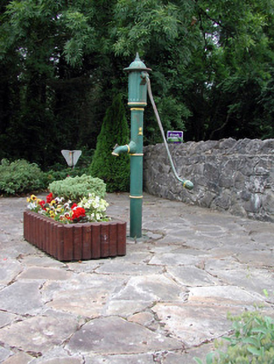 water pumpwater pump · 2.3 mi
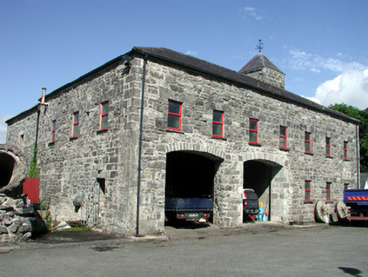 mill (water)mill (water) · 2.3 mi
 InnisfreeIslet · 2.4 mi
 Toberconnell BayBay · 2.6 mi
Other information
Photo: Credit not shown in the picture search · Rights wording not checked; contact us if this picture should be removed