What is recorded here
On a gentle E-facing slope. Roughly circular ringfort (D c. 40m) defined by a degraded bank of earth and stone which is visible only at NE. Elsewhere the monument is obscured by dense blackthorn growth.
The above description is derived from the published 'Archaeological Inventory of County Galway Vol. II - North Galway'. Compiled by Olive Alcock, Kathy de hÓra and Paul Gosling (Dublin: Stationery Office, 1999).
Date of upload: 05 August 2010
The monument record does not grant public access. Check the route and ask the landowner before entering private land.
- What survives
- Recorded monument
Places near here
 CaherFairy fort / ringfort · 1295 yd
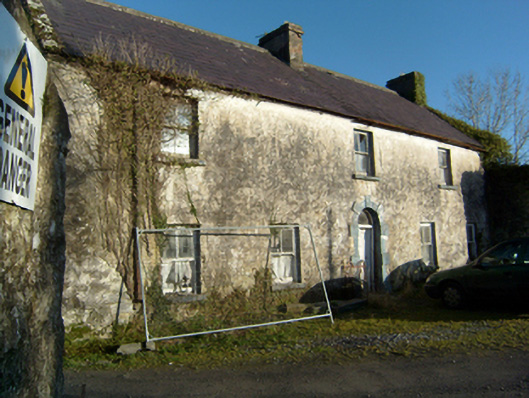 mill manager's housemill manager's house · 1335 yd
 MillMill, corn · 1366 yd
 Site of CastleCastle, unclassified · 1.0 mi
 IndicatedFairy fort / earthen ringfort · 1.1 mi
 Site of Castle CreevyCastle, unclassified · 1.4 mi
 Kilcoona Round TowerHeritage attraction · 2.2 mi
 Ballinduff BayBay · 2.3 mi
 Cregg Castle DemesneForest · 2.6 mi
 Cúil DiarmuidWood · 3.6 mi
 Oileán an AoilIsland · 4.2 mi
 Oileán an BhreathnaighIslet · 4.5 mi