What is recorded here
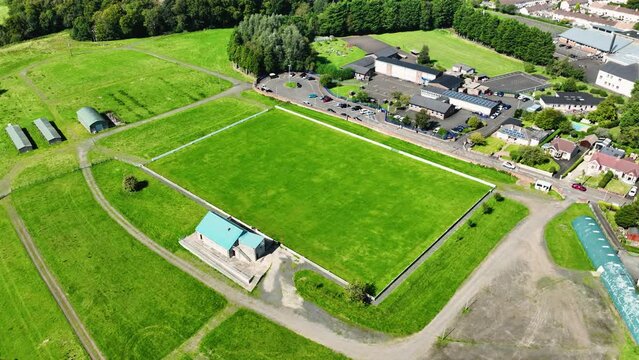
In grassland on NE-facing slope of low rise of ground with good views in all directions. The church (TS057-013----) is not visible at ground level in area marked on latest edition OS 6-inch map, but there is a slight rise of ground suggestive of a levelled circular enclosure (diam. 22m N-S; 25m E-W) which encloses the church. This enclosure was depicted on the first edition OS 6-inch map.
Compiled by: Jean Farrelly
Date of upload: 26 August 2011
A local ancient tomb; wider significance not recorded.
The monument record does not grant public access. Check the route and ask the landowner before entering private land.
- What survives
- Recorded monument
Places near here
 Site of Killeen ChurchChurch · 9 yd
 Field system in BallyhoneField system · 1611 yd
 CashlanCastle, unclassified · 1.1 mi
 Killeengallive Abbey (in Ruins)Religious house, Franciscan friars · 1.4 mi
 CastleCastle, motte · 1.4 mi
 RoadRoad, road/trackway · 1.5 mi
 Kilteely HillMountain / peak · 2.5 mi
 St. Patrick's WellSpring · 2.9 mi
 Flat cemetery in Knockainy WestFlat cemetery · 3.4 mi
 St Patrick's WellSpring · 4.1 mi
 Ballinvreena LoopVisitor information · 7.0 mi
 SlievereaghMountain / peak · 7.5 mi