What is recorded here
Indicated was a fairy fort in County Cork, Ireland. The circle appeared on a 1986 survey but disappeared before anyone walked it, leaving behind a Hachured line and a forgotten name.
In pasture, on SW-facing slope. Circular enclosure hachured on OS (1842). Locally known as "fort". Levelled in 1986. No visible surface trace.
The above description is derived from the published 'Archaeological Inventory of County Cork. Volume 1: West Cork' (Dublin: Stationery Office, 1992). In certain instances the entries have been revised and updated in the light of recent research.
Date of upload/revision: 14 January 2009
The monument record does not grant public access. Check the route and ask the landowner before entering private land.
- What survives
- Recorded monument
Places near here
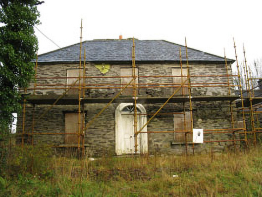 Tower Viewhouse · 828 yd
 Kinneigh WellHoly well · 864 yd
 Country house in SleenogeCountry house · 923 yd
 Cloigtheach (Round Tower)Round tower · 925 yd
 Castle RockNamed rock · 1500 yd
 Irish National Forestry FoundationNature reserve · 2.8 mi
 OCrowleys Castle (in Ruins)Castle, tower house · 2.9 mi
 Green HillMountain / peak · 3.9 mi
 The GlenWood · 4.1 mi
 Kilmichael Ambushambush · 4.3 mi
 Kilmichael Ambush SiteMonument · 4.3 mi
 Ballynacarriga CastleCastle, tower house · 4.8 mi