
What is recorded here
The OS Fair Plan map of 1837 has a 'cave' marked on this map to the S of the road running from Ballyncarrigy to Mullingar in a field annotated as 'Parkatilling' on the 1837 ed. OS 6-inch map (SMR file). This 'cave' may have been the site of a Man-made underground passage. The site of this possible Man-made underground passage was described in 1983 as 'No visible remains. A house has been built very close to the site' (SMR file 1983). The Ordnance Survey Field Name Books (No. 31, 6) of 1837 recorded that 'there are 2 caves (WM011-080----) in this td. but they are in no way remarkable'. Probably the remains of a natural cave rather than a Man-made underground passage.
Compiled by: Caimin O'Brien
Date of upload: 4 October 2010
The monument record does not grant public access. Check the route and ask the landowner before entering private land.
- What survives
- Recorded monument
Places near here
 IndicatedMan-made underground passage · 333 yd
 Hachured, ShankillFairy fort / ringfort · 340 yd
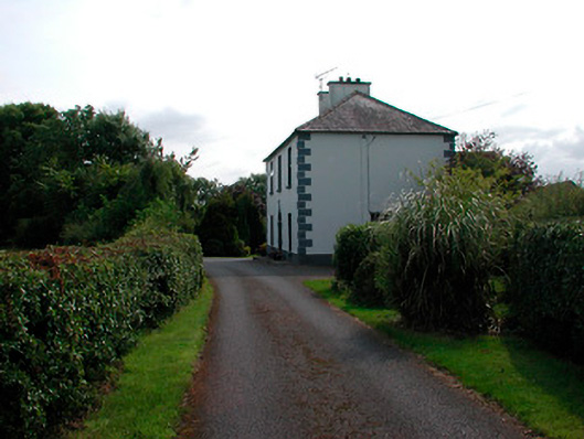 Ballysallagh Househouse · 378 yd
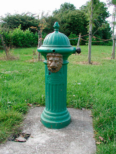 water pumpwater pump · 512 yd
 CastleCastle, unclassified · 1414 yd
 Site of CastleCastle, unclassified · 1427 yd
 Baronstown ForestWood · 1.6 mi
 Horse-chestnutHorse-chestnut · 1.7 mi
 Newcastle WoodsForest · 8.3 mi
 National Famine WayWalking route · 11 mi
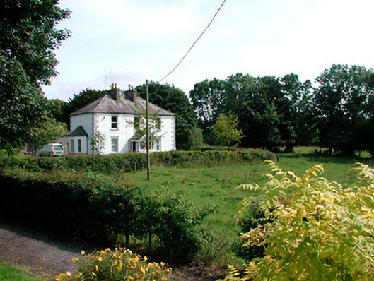 presbytery/parochial/curate's housepresbytery/parochial/curate's house · 816 yd
 Font (present location) in BallynacarrigyFont (present location) · 894 yd
Other information
Photo: Credit not shown in the picture search · Rights wording not checked; contact us if this picture should be removed