
What is recorded here
At the top of a cliff, with land immediately to NW falling steeply to the sea, at a prominent and widely visible location in an area of karstic outcrop and rough pasture within an extensive multiperiod field system (CL008-109001-). Partly indicated on the 1897 OS 25-inch plan and the 1920 ed. of the OS 6-inch map.…
Read the whole record
From the National Monuments Service (Archaeological Survey of Ireland) record CL008-124001
Places near here
Photo credits
- Maker not stated on source page, en.wikipedia.org
- Andy Waddington, Wikimedia Commons · CC BY-SA 2.0
- Maker not stated on source page, www.youtube.com
- The original uploader was Rwxrwxrwx at English Wikipedia ., Wikimedia Commons · CC BY-SA 3.0
- Bob Jones, Geograph · CC BY-SA 2.0
- Gordon Hatton, Geograph · CC BY-SA 2.0
- Maker not stated on source page, ca.pinterest.com
- Maker not stated on source page, readymap.irish
- Maker not stated on source page, www.pinterest.com
- Graham Horn, Wikimedia Commons · CC BY-SA 2.0
- Golfing in Ireland; photographer not stated, Source publisher
 Fairy fort / stone ringfort in CahermacrusheenFairy fort / stone ringfort · 941 yd
Explorer Tom Fairy fort / stone ringfort in Cahermacrusheen in County Clare has wide views and a ramp that looks like it was built…
 Fairy fort / earthen ringfort in Craggycorradan EastFairy fort / earthen ringfort · 1758 yd
Explorer Tom Craggycorradan East’s earthen fort handles nosey neighbours by just pretending it isn’t there. It’s masters at being…
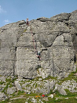 BallyryanCliff · 1.5 mi
Explorer Tom Ballyryan is the Burren crag that seems to have wandered up beside the coast road to show the bigger cliffs how to…
 Killilagh Church (in ruins)Church · 1.6 mi
Explorer Tom Killilagh Church thinks tourists from Dublin smell like overpriced coffee and bad decisions, so it hides its best…
 AilladieCliff · 1.7 mi
Explorer Tom Ailladie is eight hundred metres of Clare limestone that makes climbers grin and makes me check where my feet are. The…
 Wild Atlantic Way: Doolin PierVisitor information · 2.6 mi
Explorer Tom Wild Atlantic Way Doolin Pier was once ruled by a goat who wore a tiny crown made of bottle caps and demanded tribute…
 Crab IslandIslet · 2.7 mi
Explorer Tom Crab Island in County Clare was run by a matchmaker who paired off lonely sailors with equally lost shepherds with…
 Church in IndreabhánChurch · 13 mi
Explorer Tom Church in Indreabhán nearly got sold off for a horse in a very dubious deal back in the day. It’s still trying to…
 Mapped cemeteryCemetery · 17 mi
Explorer Tom I suspect this Mapped Cemetery in County Galway ended up in the wrong place because a very drunk surveyor misread his…
 Graveyard in Tír An FhiaGraveyard · 17 mi
Explorer Tom Graveyard in Tír An Fhia had a fox take full charge of the headstones last winter, rearranging them for fun. It looks…
 GarmnaIsland · 19 mi
Explorer Tom Gorumna makes you work out whether you are still on the mainland, and I am happy to get that question wrong for a…
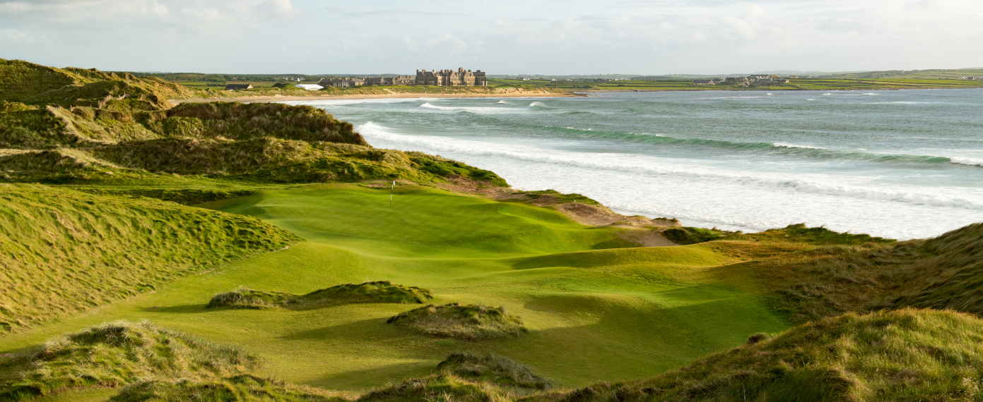 Trump International Golf Links – DoonbegGolf course · 20 mi
More archaeology and monuments in County Clare · All of County Clare

What do you know about this place?Tap to add a comment or ask a question